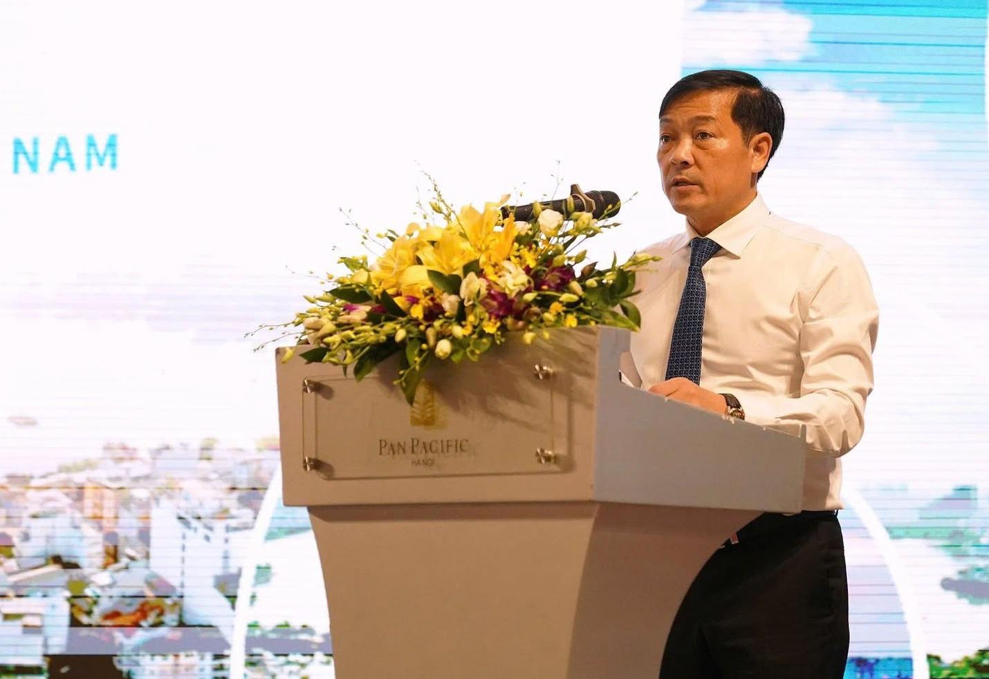
AgriVision 2026: Aligning agricultural research with production needs
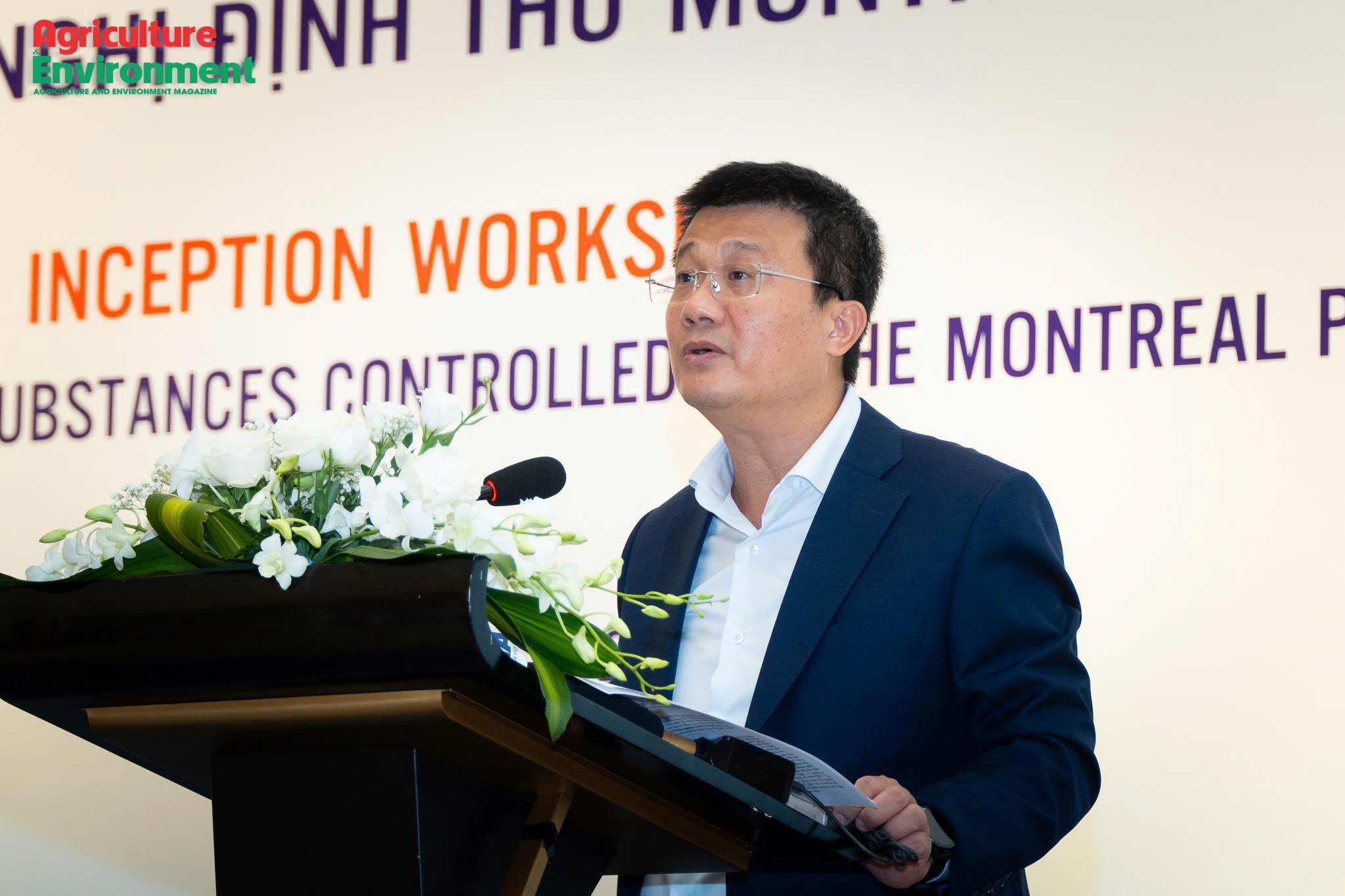
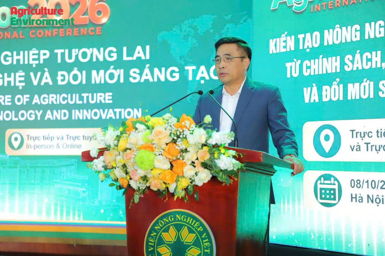
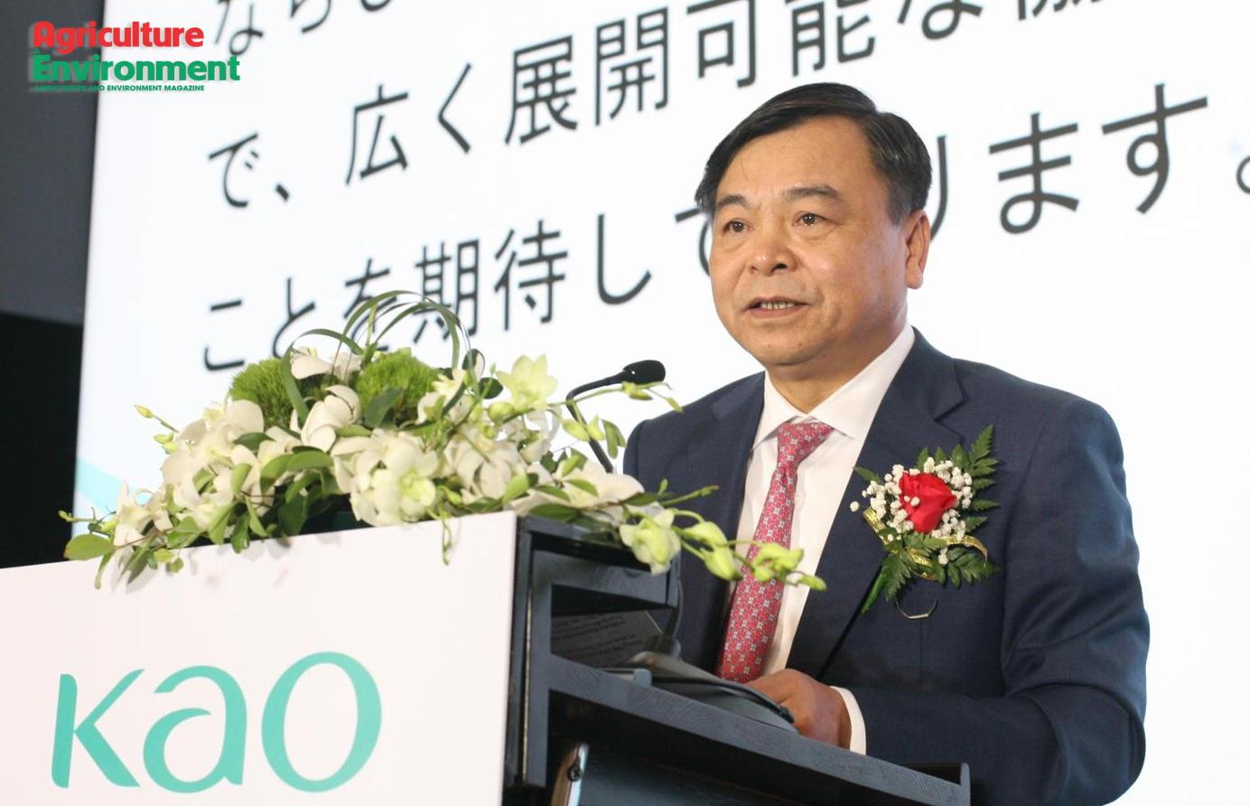
An international conference held in Hanoi on Oct. 8, 2026, called for closer alignment between agricultural policy, technology and innovation and the practical needs of production. Deputy Minister of Agriculture and Environment Nguyen Quoc Tri said Vietnam needs to accelerate its shift toward knowledge-driven growth, higher-quality output and greater value creation, with scientific research judged by measurable improvements in production and farmers’ incomes.