



 By integrating ALOS-2 PALSAR-2 radar data, Sentinel-2 satellite imagery, and field survey data, a study by Nguyen Viet Luong developed a forest biomass distribution map with an overall accuracy of 83.29% for the study area within Nui Chua National Park. The results estimate that forest vegetation across the 25,209-hectare study area contains approximately 1.36 million metric tons of carbon, equivalent to nearly 4.98 million metric tons of CO₂. The findings provide an additional scientific basis for forest ecosystem monitoring, management, and conservation.
The ecological significance of Nui Chua’s dry forest ecosystem
Located along Viet Nam’s South-Central coast, Nui Chua National Park in Khanh Hoa Province is home to one of the country’s distinctive dry forest ecosystems. Characterized by harsh climatic conditions, low rainfall, and a prolonged dry season, the area supports plant communities adapted to hot, arid environments. Its outstanding biodiversity and ecological significance were recognized when UNESCO designated the wider area as the Nui Chua Biosphere Reserve in 2021.
The area features diverse vegetation types, including evergreen forests, semi-deciduous forests, deciduous forests, and shrublands adapted to dry conditions. According to the references cited in the study, more than 1,500 plant species and approximately 760 animal species have been recorded in the area. This diversity reflects Nui Chua’s distinctive ecological value and underscores the importance of protecting forest habitats to maintain biodiversity.
In addition to supporting biodiversity and maintaining ecological balance, forests play an important role in the global carbon cycle through the uptake and storage of carbon in biomass. In ecosystems with distinctive natural conditions, such as Nui Chua, quantifying forest carbon stocks not only helps establish the environmental value of forests but also provides essential information for resource management, conservation, and ecosystem services assessment.
However, estimating forest biomass and carbon stocks across extensive areas requires methods capable of capturing variations in vegetation structure and condition. This consideration informed the research conducted by Nguyen Viet Luong of the Center for Remote Sensing and Geospatial Technology, Vietnam National Space Center, Vietnam Academy of Science and Technology. The study adopted an integrated, multi-source remote sensing approach to assess forest biomass in the Nui Chua area.
Integrating satellite data to improve forest biomass estimates
A key feature of the study is its integration of field survey data with multiple satellite datasets, including Landsat 8 Operational Land Imager (OLI), Sentinel-2B, and ALOS-2 PALSAR-2. The ALOS-2 PALSAR-2 radar data provided backscatter coefficients and texture parameters, while optical imagery from Sentinel-2B and Landsat 8 OLI was used to calculate the Normalized Difference Vegetation Index (NDVI). These variables served as inputs for developing and evaluating forest biomass estimation models.
To establish field-based reference data for comparison with satellite observations, the study surveyed 64 sample plots in May 2018 across different forest conditions. Of these, 48 plots were used for model development and 16 for validation. Tree diameter at breast height, tree height, stand density, and aboveground biomass were determined through field measurements, providing the reference data for subsequent analysis.
This approach draws on the complementary information provided by radar and optical imagery. Spectral indices derived from optical imagery reflect surface characteristics and vegetation conditions, while radar backscatter coefficients and texture parameters provide additional information about vegetation structure. Integrating these datasets enables the models to capture multiple characteristics of forest vegetation simultaneously, rather than relying on a single index or satellite data source.
Using the collected datasets, the researcher developed and compared univariate and multivariate regression models, including models integrating multiple satellite-derived variables. The results showed that models incorporating information from multiple satellite sources generally performed better in estimating forest biomass than those based on a single source. Notably, the model integrating the HV-polarized backscatter coefficient and texture parameters from ALOS-2 PALSAR-2 with the NDVI derived from Sentinel-2 achieved a coefficient of determination (R²) of 0.83.
These findings demonstrate the value of combining spectral and structural information in forest biomass assessment. Model selection was based not only on the ability of the models to explain the field survey data but also on their validation performance, helping identify the approach best suited to the conditions of the study area.
The contribution of the research therefore extends beyond the application of individual satellite datasets. It lies in the integration and analysis of information from multiple sources to develop quantitative forest biomass estimation models. This approach is particularly relevant to areas with diverse vegetation conditions and structures, where large-scale assessment requires the combined use of remote sensing technology and field survey data.
Mapping forest biomass and quantifying carbon stocks at Nui Chua
Based on the selected model, the study produced a forest biomass distribution map of the Nui Chua area at a scale of 1:50,000, with a spatial resolution of 10 meters. An accuracy assessment using 32 field reference points indicated an error of 16.71%, corresponding to a mapping accuracy of 83.29%. This is one of the study’s key achievements, as the map not only presents estimated biomass but also illustrates its spatial distribution across different biomass classes throughout the study area.
Across the 25,209.22-hectare study area, the biomass class of 101–200 metric tons per hectare accounted for the largest share, covering 13,283.70 hectares, or 52.69% of the total area. This was followed by the 0–100 metric tons per hectare class, which covered 10,298.59 hectares, or 40.85%. The class exceeding 200 metric tons per hectare covered 1,029.68 hectares, equivalent to 4.08%. The remaining area consisted of non-forest land.
The distribution of these biomass classes indicates that biomass stocks vary across the study area. Mapping these differences helps identify areas with different levels of biomass accumulation and provides additional spatial information for forest resource monitoring and assessment.
Based on the biomass estimates, the researcher calculated that the total carbon stock in forest vegetation across the study area was approximately 1.36 million metric tons. Using the conversion factor specified by the Intergovernmental Panel on Climate Change (IPCC), this amount is equivalent to approximately 4.98 million metric tons of CO₂.
It is important to emphasize that the figure of nearly 5 million metric tons of CO₂ represents the CO₂ equivalent of the carbon stored in forest biomass. It does not represent the amount of CO₂ absorbed by the forest annually. Rather, it indicates the amount of carbon stored in the vegetation within the spatial and temporal scope of the study, highlighting the important role of Nui Chua’s forest ecosystem in carbon storage.
These quantitative findings provide a scientific basis for recognizing the environmental value of dry forest ecosystems. Beyond assessing forests in terms of area or forest cover, estimating biomass and carbon stocks provides additional information on the carbon storage function of vegetation. This is particularly relevant as countries increasingly prioritize the protection of natural ecosystems and the adoption of nature-based solutions to address climate change.
A scientific basis for forest management and conservation
The value of this research lies not only in its quantitative assessment of forest carbon stocks but also in its ability to translate remote sensing data into spatial information for forest resource management. The resulting biomass map provides a relatively detailed representation of biomass distribution across an extensive area, offering an additional basis for monitoring forest conditions and assessing forest resources in the Nui Chua area.
In practical management, information on biomass distribution and carbon stocks can help identify areas with different estimated carbon stock levels, supporting monitoring, conservation, and the development of management approaches suited to local conditions. These data can also provide a scientific basis for assessing forest ecosystem services, including carbon storage, an increasingly important consideration in forestry policies and climate change response efforts.
In the context of Vietnam’s greenhouse gas emission reduction commitments and its pursuit of net-zero emissions, strengthening the capacity to quantify and monitor forest carbon stocks is particularly important. Spatially explicit data provide management agencies with additional information for assessing the role of forest ecosystems and support the development and implementation of natural resource conservation measures aligned with sustainable development objectives.
Furthermore, the integration of radar and optical imagery demonstrated in the Nui Chua study offers a potential approach for assessing forest biomass in other areas with similar ecological conditions. Combining satellite data with field surveys can expand the capacity to monitor forest resources across large areas while providing a foundation for developing datasets to support long-term research and management.
The researcher also identified several directions for further methodological development, including expanding field survey datasets, incorporating higher-resolution satellite imagery, and applying machine learning methods. These approaches could help improve model accuracy and extend the application of the method to forest biomass and carbon stock monitoring.
The study by Nguyen Viet Luong in Nui Chua National Park demonstrates the potential of multi-source remote sensing technology for forest resource assessment. The development of a forest biomass map with relatively high accuracy, together with the quantification of carbon stocks across an extensive area, provides valuable scientific information for forest management and conservation. The findings also underscore the role of science, technology, and geospatial data in strengthening natural resource management and supporting ecosystem protection and climate change response efforts.
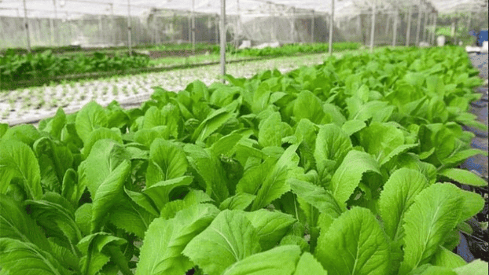
Saltwater intrusion is increasing the need to identify crop varieties that can tolerate changing irrigation water salinity, particularly in the Mekong Delta. A study by researchers at Can Tho University examined the responses of two mustard varieties to different salinity levels and assessed associated changes in soil chemical properties. The findings provide additional scientific evidence to guide vegetable variety selection and irrigation water management in agricultural areas affected by saltwater intrusion.
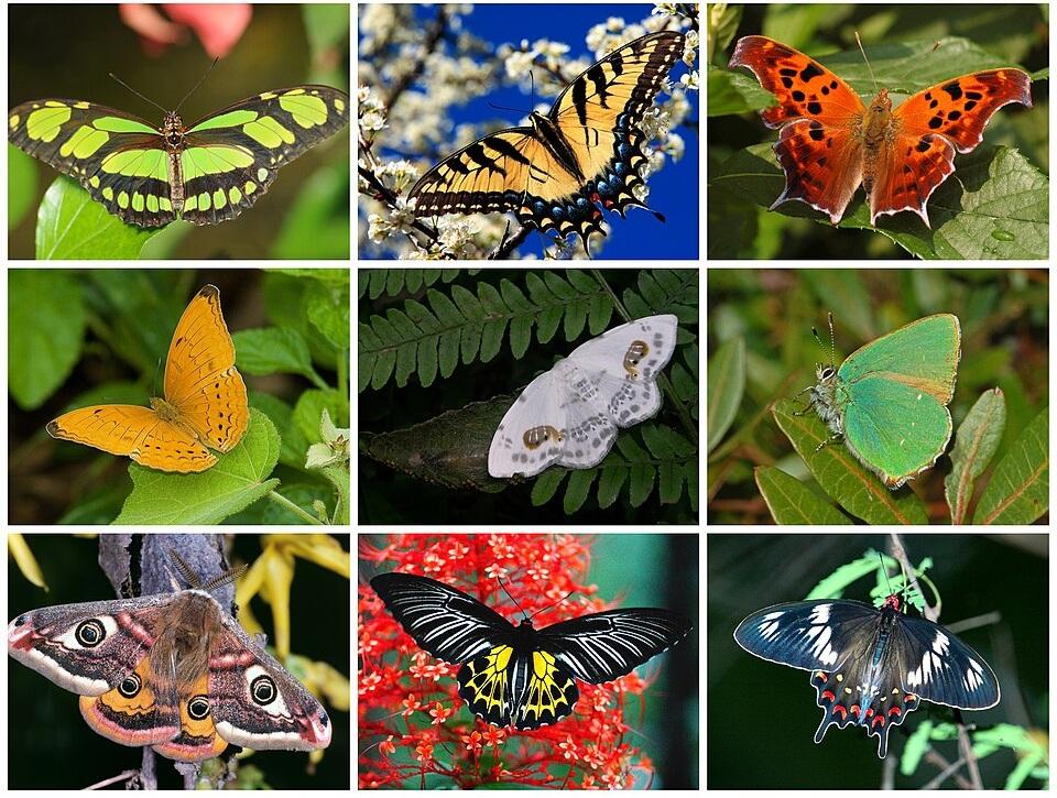
Surveys along 17 transects across six habitat types recorded 256 Lepidoptera species at Pu Huong Nature Reserve in Nghe An Province, including 66 species newly recorded for the study area. The findings expand the biodiversity record for an ecologically important forest landscape in western Nghe An and provide further insights into species distribution and the ecological roles of this insect group in forest ecosystems.

A survey of 312 small and medium-sized enterprises (SMEs) in Phu Tho Province found a gap between businesses' awareness of the benefits of environmental, social, and governance (ESG) practices and their organizational capacity to implement them. The findings highlight the importance of internal resources, leadership commitment, and local policy support, as well as the need to tailor assistance to the specific conditions of different sectors.
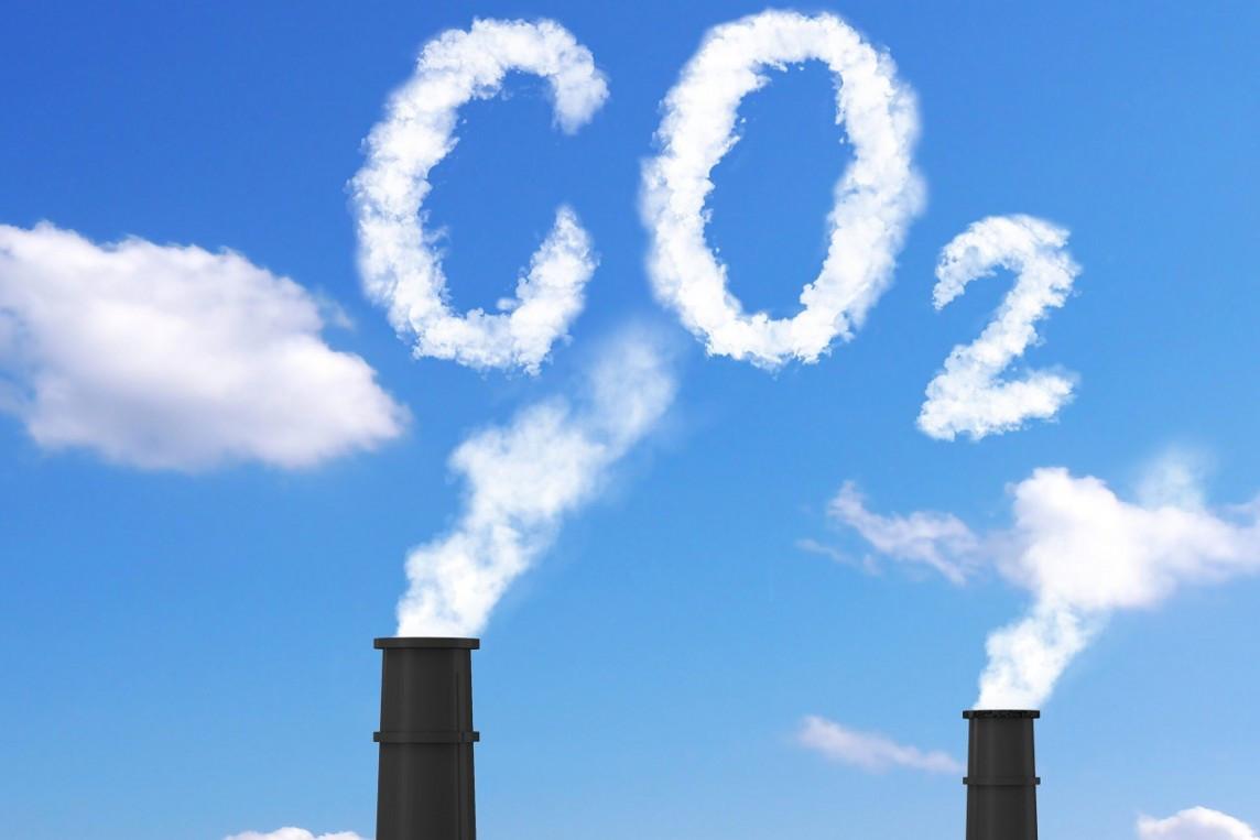
Viet Nam’s legal framework for greenhouse gas (GHG) management during 2020–2025 has evolved alongside the development of a measurement, reporting and verification (MRV) system, sector-specific technical regulations, and market-based economic instruments, including emission fees, the carbon market, and green credit. An analysis by Nguyen Thanh Giao, Nguyen Thi Lanh, Nguyen Van Linh, and Ha Thao Nguyen highlights the importance of linking emissions data, technical standards, and financial mechanisms to incorporate climate change mitigation objectives into production and investment decisions while supporting the development of low-carbon technological solutions integrated with the circular economy model.
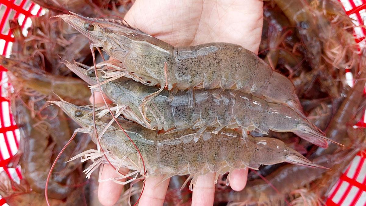
A survey of 90 whiteleg shrimp (Litopenaeus vannamei) farming households in the Mekong Delta found that probiotics are widely used in intensive and super-intensive production systems, whereas prebiotics and synbiotics remain less widely adopted. The findings provide practical evidence to inform the development of biological solutions better suited to production conditions, helping improve pond management and support more sustainable shrimp farming.