



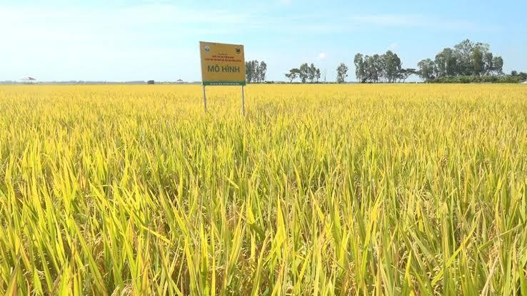
 Whether rice paddy fields are inundated or dry produces distinct signatures in radar imagery. Building on this characteristic, researchers from the Southern Institute of Water Resources Research and the Vietnam National Space Center, Viet Nam Academy of Science and Technology, tested a method for detecting inundation in rice paddy fields in An Giang Province, providing an additional source of data for monitoring water regimes and estimating methane emissions from rice cultivation.
Water management in rice cultivation and methane emissions
In rice cultivation, water is commonly regarded as a key factor affecting crop productivity and production efficiency. However, amid efforts to reduce greenhouse gas emissions, the water regime in rice paddy fields has taken on an additional significance.
When rice paddy fields remain inundated, anaerobic conditions develop in the soil, creating a favorable environment for methane-producing microorganisms. Conversely, water management practices that allow fields to dry intermittently during the growing season can alter the conditions under which methane is produced. Therefore, accurate estimation of methane emissions under actual production conditions requires information on how long fields remain inundated and the water regime they experience throughout the rice-growing season.
This was the basis for the study conducted by Nguyen Van Hoang of the Southern Institute of Water Resources Research, together with Lam Dao Nguyen and Hoang Phi Phung of the Vietnam National Space Center, Vietnam Academy of Science and Technology.
According to the authors, monitoring the inundation status of rice paddy fields can help characterize water regimes in both spatial and temporal terms, thereby providing input data for methane emission estimation and the assessment of emission-reduction practices in rice cultivation.
Using radar remote sensing to monitor inundation in rice fields
Remote sensing approaches for monitoring water conditions in rice paddy fields have traditionally relied on optical imagery, including MODIS, Landsat, and Sentinel-2. However, cloud cover remains a significant constraint, particularly in the Mekong Delta, where weather conditions can make continuous observation difficult.
Synthetic Aperture Radar (SAR) remote sensing offers an important advantage in this regard: it can acquire data day and night and is less affected by cloud cover than optical sensors. For this reason, the researchers used ALOS-2 PALSAR-2 imagery with dual polarizations, HH and HV, to detect inundation in rice paddy fields.
The study did not rely solely on satellite imagery. The researchers combined radar data with ground-truth observations from 89 sampling points in Long Xuyen City, Chau Thanh District, and Thoai Son District, corresponding to the administrative units of An Giang Province before the administrative reorganization. At these locations, the researchers recorded inundation status, inundation depth, rice age, and growth stage. Part of the dataset was used to develop the classification model, while the remainder was used to validate the results.
This approach enabled the researchers to identify radar signal thresholds better suited to actual field conditions rather than relying solely on a theoretical model. For the ALOS-2 imagery acquired on January 17, 2025, the thresholds were determined at -25.7 dB for HV polarization and -14.5 dB for HH polarization.
HV polarization provides higher detection accuracy
The experimental results showed that the two polarization channels did not perform equally well.
Using an independent validation dataset, the HV polarization achieved an overall accuracy of 74%, compared with 67% for HH polarization. These results were obtained from imagery acquired on January 17, 2025, during the winter-spring rice season, and were validated against ground-truth data collected in the study areas.
The 74% overall accuracy indicates that SAR imagery can support the detection of inundation and non-inundation in rice paddy fields under actual production conditions. However, the researchers did not consider the result definitive.
One contributing factor is the changing structure of the rice crop itself. At the time of the study, most of the surveyed fields were approximately 20-60 days after sowing, when aboveground biomass and canopy density were changing rapidly. These changes affect the interaction of radar signals with water surfaces, soil, and rice plants, meaning that the distinction between inundated and non-inundated fields is not always clear.
In addition, small field bunds, drainage channels, and microtopographic variations within individual fields can produce differences in water levels even within the same area. As a result, the signal recorded by an individual pixel may represent a mixture of different surface features. Speckle noise, which is inherent in SAR imagery, also contributes to classification errors.
These limitations indicate that inundation detection in rice paddy fields cannot be reduced simply to establishing a threshold for radar signals. Classification performance also depends on rice age, biomass density, field characteristics, and the timing of observation.
Additional data for reducing emissions in rice production
The significance of the study lies not only in determining whether a rice paddy field is inundated or non-inundated at a particular point in time. Its broader value lies in the potential to generate spatial data on water regimes, which are essential for estimating methane emissions from rice cultivation.
According to the study, repeated observations of inundation conditions over multiple dates could gradually provide data on the frequency and duration of inundation in rice paddy fields. Such information is important for characterizing water regimes in rice cultivation and could support the estimation of emission factors that are more representative of specific regions and production practices, rather than relying entirely on default emission factors.
This approach is also relevant to the assessment of rice production systems designed to reduce emissions, including alternate wetting and drying (AWD). Additional information on the actual duration of inundation could provide a stronger evidence base for evaluating the effectiveness of water management practices.
However, further progress will require observations at a higher temporal frequency. A single satellite image captures the condition of a field only at the time of acquisition, whereas methane emissions depend on the duration of anaerobic conditions. With ALOS-2's 14-day revisit interval, some short drainage periods may not be captured.
The next step, therefore, is to integrate multiple data sources and observation dates while improving the classification algorithms. The researchers propose incorporating additional sensors, applying machine-learning methods, and using full-polarimetric data to better account for the complexity of radar signals beneath rice canopies. In the longer term, remote sensing data could also be combined with information on soil properties, rice varieties, fertilizer use, and water-level monitoring to establish a more comprehensive monitoring system.
The An Giang study therefore represents an initial test rather than a final solution for monitoring inundation in rice paddy fields. Nevertheless, the findings indicate that SAR imagery, particularly HV polarization in this experiment, can provide an additional approach for monitoring water regimes in rice cultivation. As such data are accumulated over time and integrated with other information sources, they could contribute to improving the accuracy of methane inventories and assessing emission-reduction measures in rice production in the Mekong Delta./.
Source: This article is based on the study by Nguyen Van Hoang, Lam Dao Nguyen, and Hoang Phi Phung, titled “Detecting inundated rice paddy fields in An Giang province using ALOS-2 radar remote sensing imagery,” published in the Science Journal of Agriculture and Environment, Issue 1, May 2026.
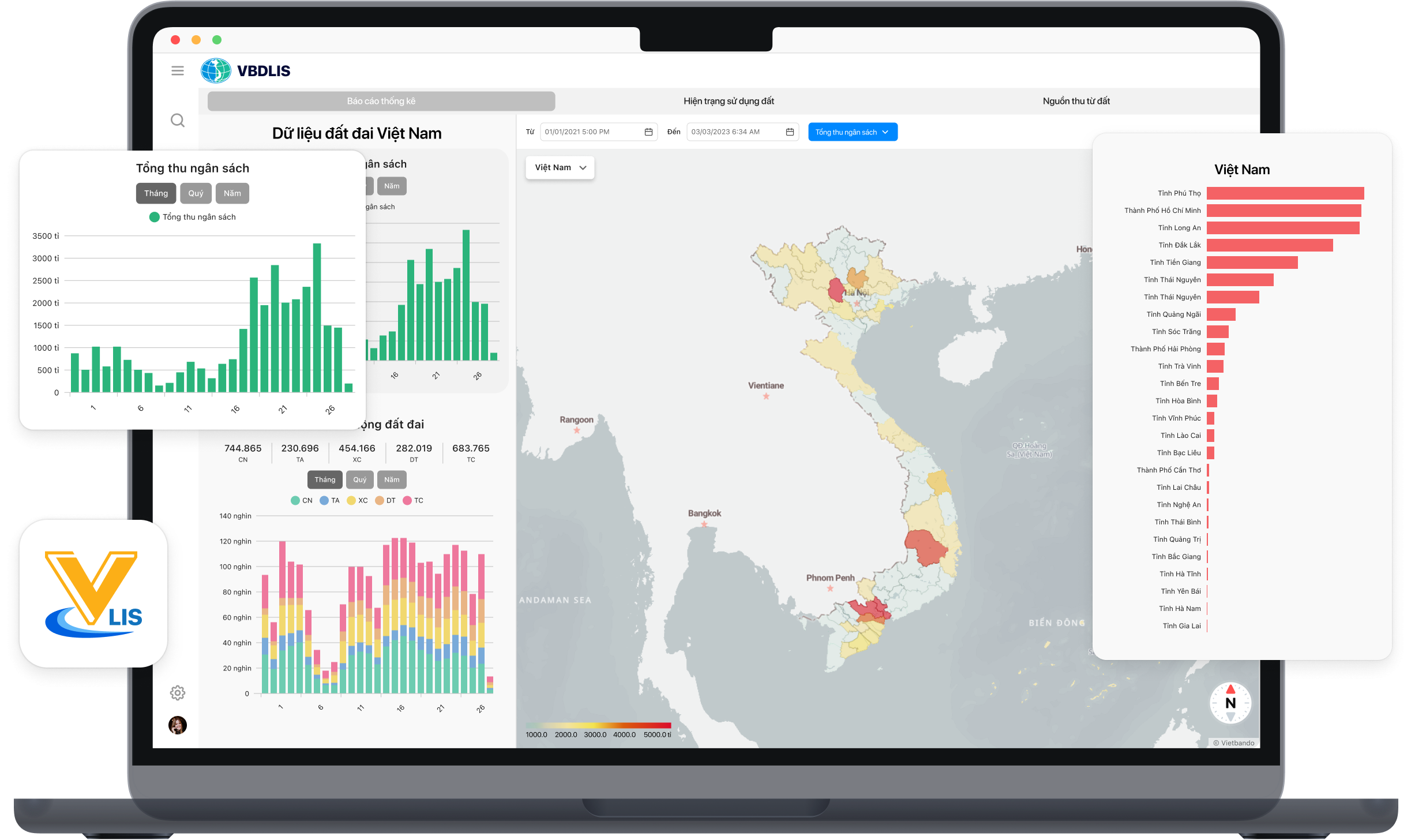
A land database can fully realize its value only when its data are accurate, complete, clean, up to date, and capable of being connected to and shared across the state management system. A study by Nguyen Dinh Trung of Vietnam National University of Agriculture and Nguyen Quang Thi of Thai Nguyen University of Agriculture and Forestry shows that applying VBDLIS in Nghe An province provided substantial support for organizing, reviewing, supplementing, synchronizing, and utilizing land data during the campaign to enrich and clean the national land database.

As digital transformation becomes a new driver of development, Vietnamese researchers have proposed a planning information system model that applies Geographic Information Systems (GIS) and artificial intelligence (AI) in Vinh Long Province. The research contributes to modernizing planning administration while introducing a new approach to digital government and data-driven governance in Viet Nam.

Using waste ethylene-vinyl acetate (EVA) shoe soles and vulcanized rubber—materials traditionally considered difficult to recycle—a research team from the School of Materials Science and Engineering at Hanoi University of Science and Technology has successfully developed a fully recycled composite material, creating potential new applications in green manufacturing and sustainable industrial production. The study not only contributes to addressing industrial waste challenges but also highlights Vietnam’s growing research and innovation capacity in sustainable materials and the circular economy.
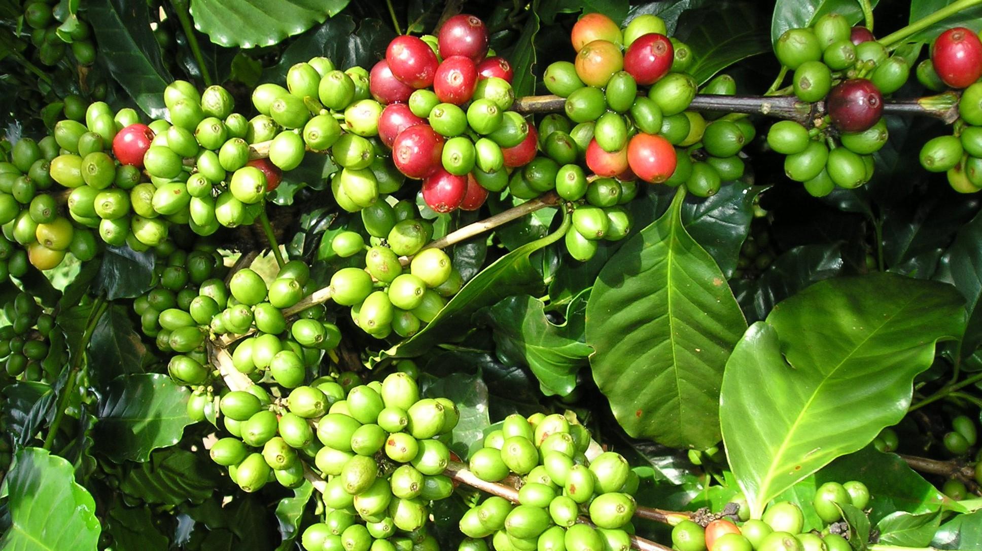
The research project entitled “Development of a suitability map for Arabica coffee cultivation on sloping land in Dien Bien province using remote sensing data, GIS technology, and the analytic hierarchy process (AHP)” conducted by Dinh Xuan Hung, Bui Tuan Hai, and Nguyen Ngoc Sang of the Institute of Water Resources Planning represents a scientifically and practically significant study in the context of ongoing agricultural restructuring toward sustainable production systems that are better adapted to natural conditions and capable of utilizing land resources more efficiently in Viet Nam’s Northern midlands and mountainous region.
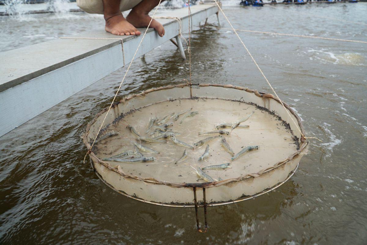
Intensive shrimp farming generates substantial economic benefits but also exerts increasing pressure on aquatic environments, particularly through wastewater rich in organic matter and toxic byproducts generated during farming operations. In the context where many shrimp farms still lack appropriate wastewater treatment systems, a research team from Can Tho University and Toan Viet Technological Environment Company Limited conducted an experimental study to assess the potential use of fishing nets—a readily available, low-cost material—as a filter material for biological treatment of wastewater from intensive shrimp ponds.