




 Urban green space plays an important role in improving environmental quality and supporting sustainable urban development. A study by Nguyen Ngoc Thanh, Nguyen Duy Phong, Tran Thi Thuy Huong and Pham Quoc Trung employed a hierarchical classification method based on Normalized Difference Vegetation Index (NDVI) thresholds derived from Sentinel-2A satellite data to identify urban green spaces in Hue City Center. A dataset comprising 100 ground-truth points was used to validate the classification maps.
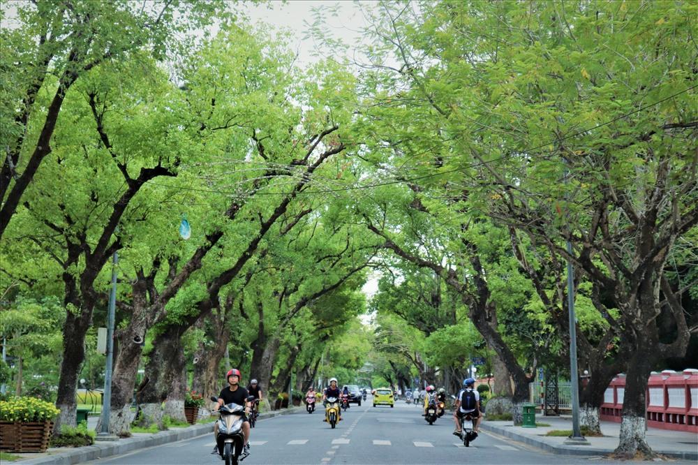
The results showed that NDVI values across the study area ranged from -0.24 to 0.74. Per Capita Green Space (PCGS) ranged from 27.64 to 221.76 m² per person. Overall classification accuracy ranged from 82% to 83%. These findings demonstrate that hierarchical NDVI-based classification using Sentinel-2A data is a simple, effective and repeatable method for monitoring urban green spaces at the local scale.
Urbanisation and the growing importance of green spaces
Rapid urbanization is significantly transforming land-use patterns in cities worldwide, often resulting in the fragmentation of urban green spaces. As urban populations continue to grow, maintaining adequate green space is becoming an increasingly important challenge for sustainable urban development. Urban green space is an essential component of sustainable urban development, contributing to improved environmental quality, mitigation of the urban heat island effect and the removal of air pollutants, thereby enhancing the quality of life of urban residents. Accordingly, information on the spatial structure of urban green space is essential for effective urban planning and environmental management.
In recent years, remote sensing and Geographic Information Systems (GIS) have become effective tools for large-scale monitoring and mapping of urban green spaces. Multispectral satellite data, such as Sentinel-2 imagery, provide detailed information on vegetation at relatively high spatial and temporal resolutions, enabling the analysis and assessment of vegetation distribution in urban environments. However, many existing studies have primarily classified urban green spaces at a basic level, generally treating vegetation as a single land-cover class. Such approaches do not fully reflect the hierarchical structure and diversity of urban green space types.
Hue City is a heritage city characterized by a distinctive landscape structure associated with the Huong River, the Hue Imperial Citadel and historic green spaces. Against the backdrop of urban development and climate change, assessing the structure and distribution of green spaces in Hue City Center is particularly important for supporting sustainable urban planning and preserving the urban landscape. However, research on the structure of urban green spaces in this area remains limited, particularly studies using remote sensing data and hierarchical approaches to provide a detailed analysis of vegetation structure.
In response to these issues, this study aims to develop a hierarchical urban green space map for Hue City Center, covering the wards of Phu Xuan, Thuan Hoa, Vy Da and An Cuu following administrative consolidation. It also assesses the spatial distribution, vegetation conditions and capacity of urban green spaces to serve the local population in the context of heritage urban development and climate change adaptation.
Hue's heritage landscape under urban pressure
The selected study area encompasses major administrative, commercial, cultural and tourism functions of the city. It also reflects the coexistence of the historic urban fabric and modern urbanization. The presence of various types of green spaces, including historic trees within the Imperial Citadel, urban parks, street trees and riverside green corridors, contributes to the city's distinctive urban ecological characteristics.
However, increasing building density and rapid urbanization have expanded built-up areas and reduced the extent of green spaces, resulting in an increasingly uneven spatial distribution of urban greenery. Hue City Center therefore provides an appropriate setting for assessing the structure and distribution of urban green spaces in a heritage city facing mounting urban development pressures.
The area has a tropical monsoon climate, with a prolonged hot and dry season from March to August and a concentrated rainy season from September to December. These climatic characteristics, combined with rapid urbanization, exacerbate urban environmental challenges and contribute to the reduction of green space. In this context, assessing the distribution and quality of urban green spaces in Hue City Center is important for sustainable urban planning and climate change adaptation.
The study used three main categories of data: remote sensing imagery, administrative boundary data and population data. These datasets were used to develop the urban green space map and calculate urban green space indicators.
The remote sensing data consisted of Sentinel-2 Level-2A satellite imagery provided by the European Space Agency (ESA) through the Copernicus Open Access Hub. The image was acquired on September 11, 2025, with cloud cover of less than 30%. The Level-2A product had undergone atmospheric correction and provided surface reflectance data suitable for land-cover and vegetation analysis.
During preprocessing, the Sentinel-2A imagery was clipped to the study area using the administrative boundary layer. Two spectral bands, Band 4 (Red) and Band 8 (Near-Infrared, NIR), were extracted for vegetation analysis. All spatial datasets were subsequently standardized to the WGS 84 / UTM Zone 48N coordinate reference system to ensure consistency throughout the spatial analysis.
Administrative boundary data in shapefile format were obtained from the Hue City Department of Agriculture and Environment. Ward-level population data were collected from a reference map of Vietnam's administrative units. All spatial data layers were checked for consistency, standardized in terms of their coordinate reference systems and processed in a GIS environment before further analysis.
What NDVI reveals about urban vegetation in Hue
To analyze the spatial structure of urban green space, the study applied a hierarchical NDVI threshold-based classification method adapted from Aryal et al. (2022). Under this approach, NDVI thresholds were applied sequentially to identify vegetation cover and assess its condition.
First, the entire image was classified into two main categories: non-vegetated surfaces (NDVI values from -1.00 to 0.19) and vegetation (NDVI values from 0.19 to 1.00). The pixels identified as vegetation were then further classified into low vegetation (LV) (NDVI values from 0.19 to 0.50) and woody vegetation (NDVI values from 0.50 to 1.00).
Finally, each vegetation group was subdivided according to vegetation condition into four classes:
- Degraded low vegetation (NDVI: 0.19–0.40);
- Healthy low vegetation (NDVI: 0.40–0.50);
- Degraded woody vegetation (NDVI: 0.50–0.60);
- Healthy woody vegetation (NDVI: 0.60–1.00).
This hierarchical approach allows NDVI thresholds to be determined within appropriate subsets of pixels, such as those already identified as vegetation. This reduces the influence of non-vegetated surfaces on the NDVI distribution and helps maintain the ecological consistency of the vegetation classes.
The calculated NDVI values ranged from -0.24 to 0.74 across the study area, reflecting the presence of both non-vegetated surfaces and areas with varying vegetation densities. Low NDVI values (NDVI less than 0.19) were predominantly distributed across densely built-up areas, road networks and impervious surfaces in the urban core. In contrast, higher NDVI values were concentrated in parks, green corridors along the Huong River, green spaces within the Hue Imperial Citadel and the western part of the study area.
These findings are consistent with those of Aryal et al. (2022) in identifying vegetation distribution in urban environments. However, in densely built-up areas, NDVI values are generally low due to the dominance of impervious surfaces and construction materials.
Based on the established NDVI thresholds, the urban green space map was developed using a three-level hierarchical classification framework. This framework distinguishes between vegetated and non-vegetated surfaces, differentiates low vegetation from woody vegetation, and further classifies each vegetation group according to its condition.
Classification accuracy was assessed using 100 ground-truth points collected through field surveys. These points were compared with the classified map to calculate precision, recall, F1-score and overall accuracy.
The results showed that accuracy values across the classification levels ranged from 80% to 84%, demonstrating the effectiveness of hierarchical NDVI-based classification for mapping and assessing the structure of urban green spaces.
Overall, the study demonstrates that combining Sentinel-2A imagery with hierarchical NDVI classification provides an effective, simple and repeatable approach to mapping and assessing urban green spaces at the local scale. Urban green space maps and indicators, including the Urban Green Space Index (UGSI) and Per Capita Green Space (PCGS), can provide useful information for urban managers and planners in monitoring, conserving and developing urban green space systems. This is particularly relevant to heritage cities such as Hue, where urban green spaces face increasing pressure from urbanization and climate change.
Source: This article is based on the study entitled “Hierarchical mapping of urban green space using Sentinel-2A: A case study of Hue city center”, by Nguyen Ngoc Thanh, Nguyen Duy Phong, Tran Thi Thuy Huong and Pham Quoc Trung, from the University of Agriculture and Forestry, Hue University, and the Quang Tri Department of Agriculture and Environment. The study was published in the Proceedings of the 4th National Scientific Conference on Land Management (2026).
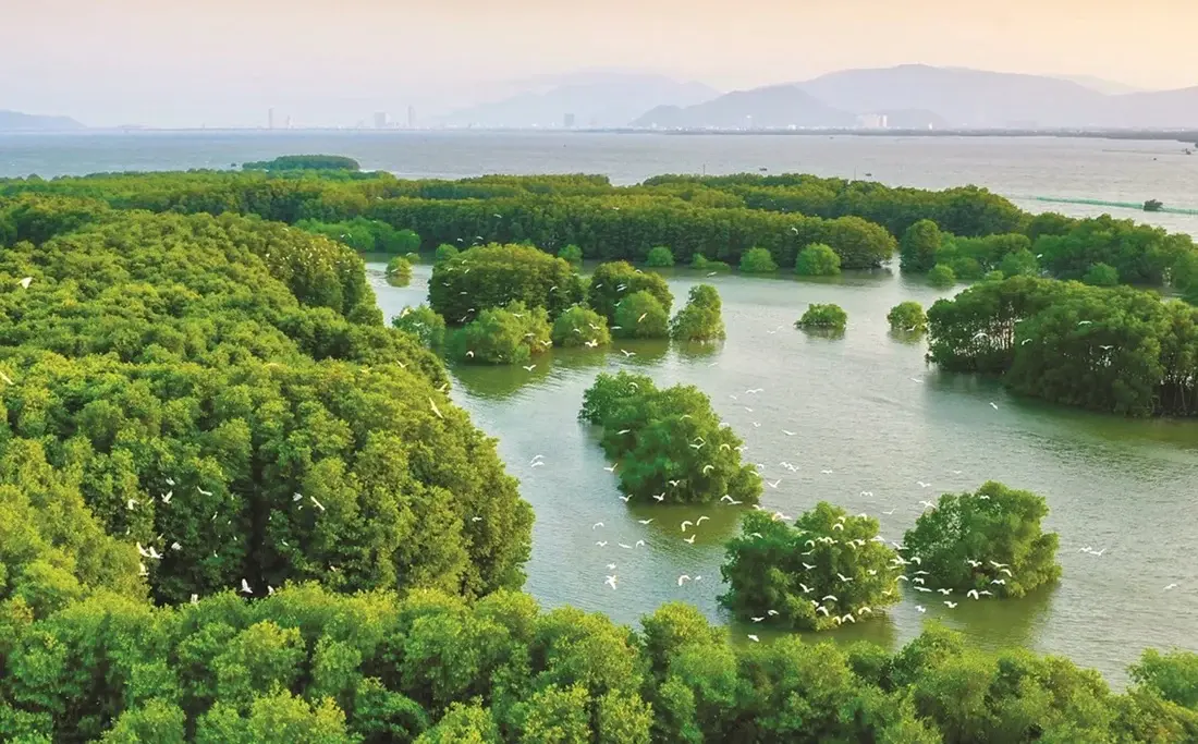
By integrating Sentinel-2 satellite imagery, GEDI data and the Google Earth Engine platform, researchers Vu Thi Hoai Thu, Dang Thi Kieu Oanh and Trieu Anh Ngoc have developed a map showing the spatial distribution of aboveground carbon stocks across vegetated classes in the Thi Nai Lagoon area. The total aboveground carbon stock was estimated at more than 71,500 metric tons, demonstrating the potential of combining remote sensing data and machine learning for biomass monitoring, identifying areas of carbon accumulation and supporting lagoon ecosystem management.
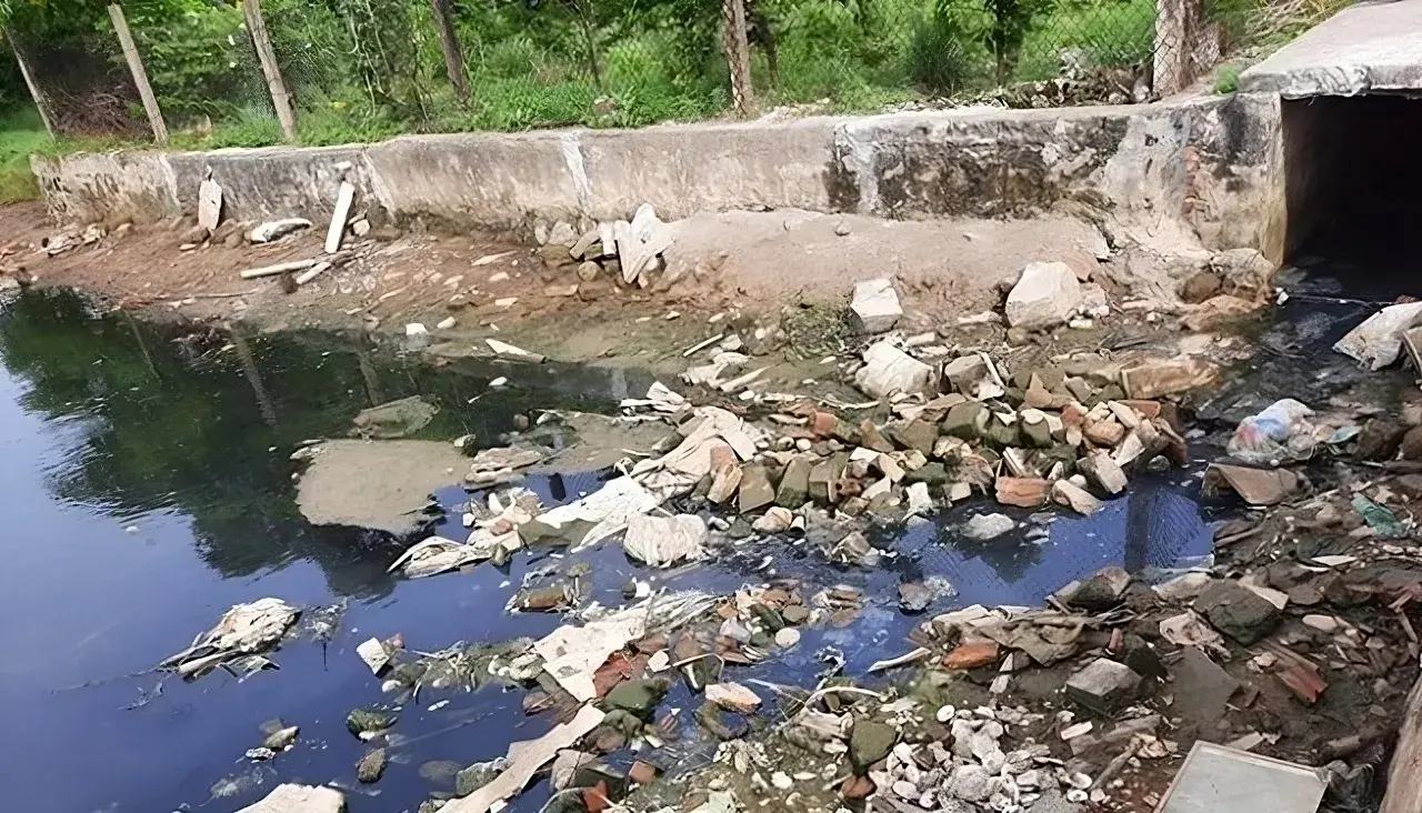
The application of low-frequency ultrasound irradiation to domestic wastewater has demonstrated its potential to reduce organic matter and microbial counts in experimental samples, according to a study by Hoang Duc An, Huynh Thi Minh Thanh, and Vo Thi Hong Phuong of the Faculty of Natural Sciences, Quy Nhon University. The findings also indicate that treatment performance depends on operating conditions and influent wastewater quality, suggesting that ultrasound could serve as a supplementary step in wastewater treatment processes.
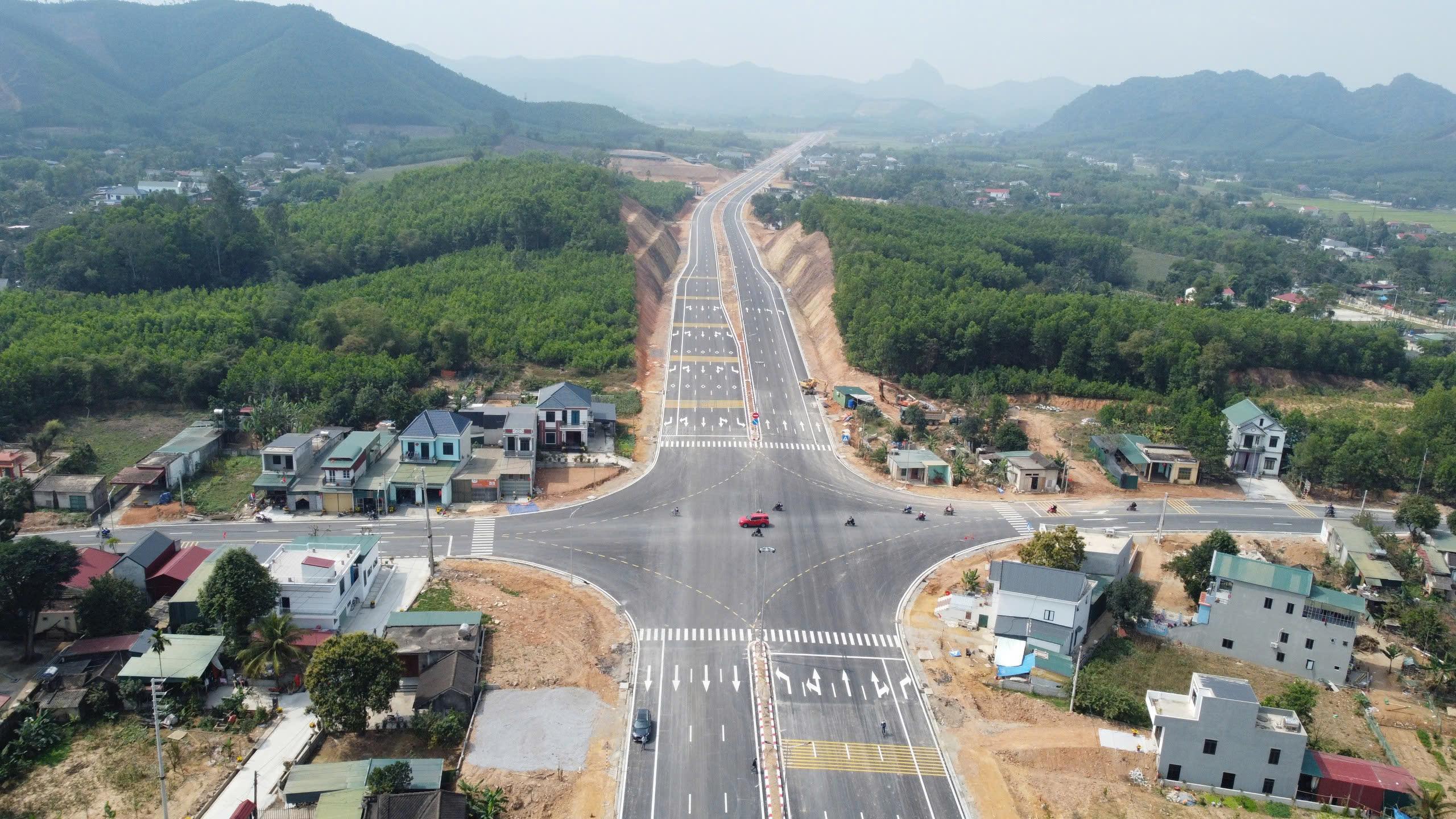
A study by Tran Thanh Son and colleagues on the Ben En–Ben Sung town center road project, in what is now Nhu Thanh commune, Thanh Hoa province, Viet Nam, demonstrates that integrating unmanned aerial vehicle (UAV) photogrammetry with MicroStation V8i can produce a land-use status map that meets the accuracy requirements for large-scale mapping. The results provide detailed geospatial data and identify 136,032.6 m² of land within the project’s acquisition boundary, supporting land inventory and the preparation of compensation, assistance, and resettlement plans.
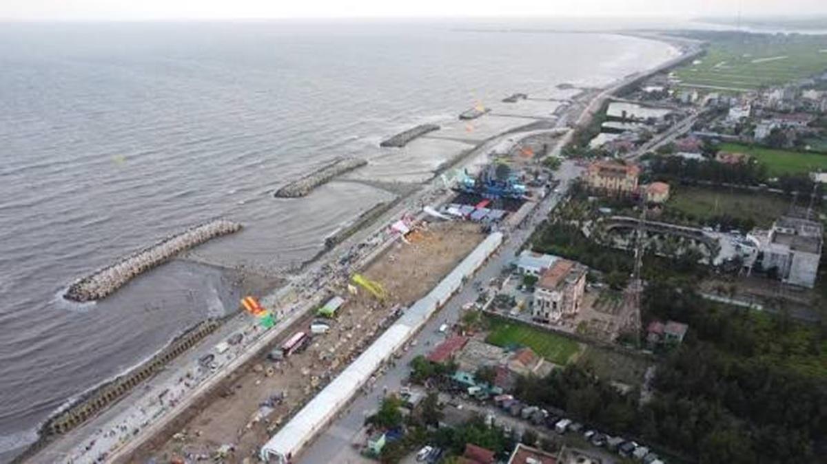
Producing cadastral extract maps in extensive aquaculture areas requires data acquisition methods that are both efficient and accurate, including in locations with extensive water surfaces and limited physical accessibility. A study by Phan Van Khue and Nguyen Duc Loc in Ninh Binh province, Viet Nam, shows that unmanned aerial vehicle (UAV) technology, combined with global navigation satellite system/real-time kinematic (GNSS/RTK) positioning and field verification, can meet the requirements for large-scale cadastral mapping, improve surveying efficiency, and provide data to support land administration.
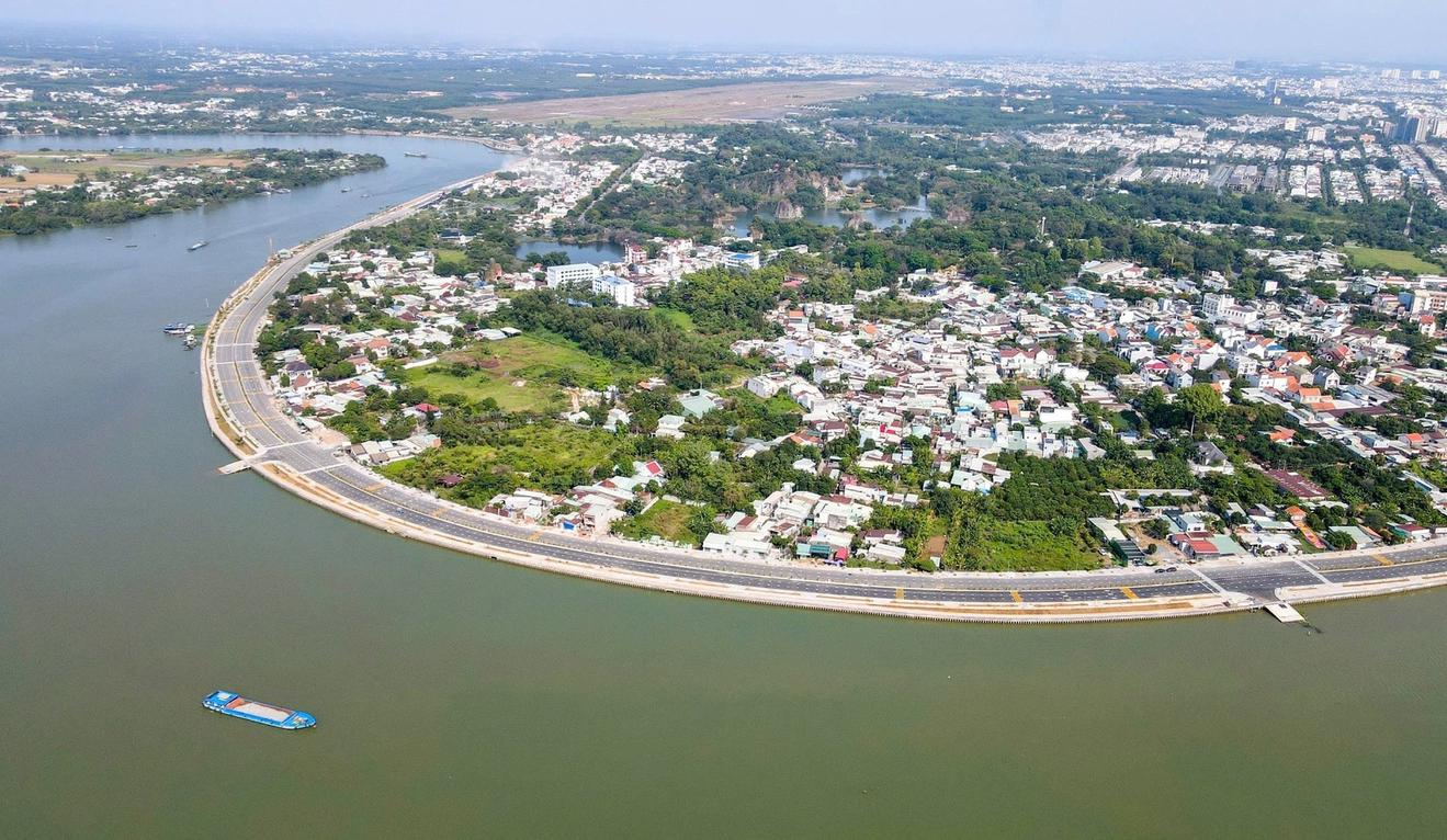
By integrating Landsat 8 satellite imagery with the NDVI, LST, and VTCI indices on the Google Earth Engine platform, researchers from the Southern Institute of Water Resources Planning have developed an agricultural drought-zoning map for the Dong Nai River Basin for 2014–2024. Comparisons with reference drought indices and field survey findings suggest that the approach has potential for identifying drought-prone areas, particularly agricultural areas outside the service areas of irrigation infrastructure.