




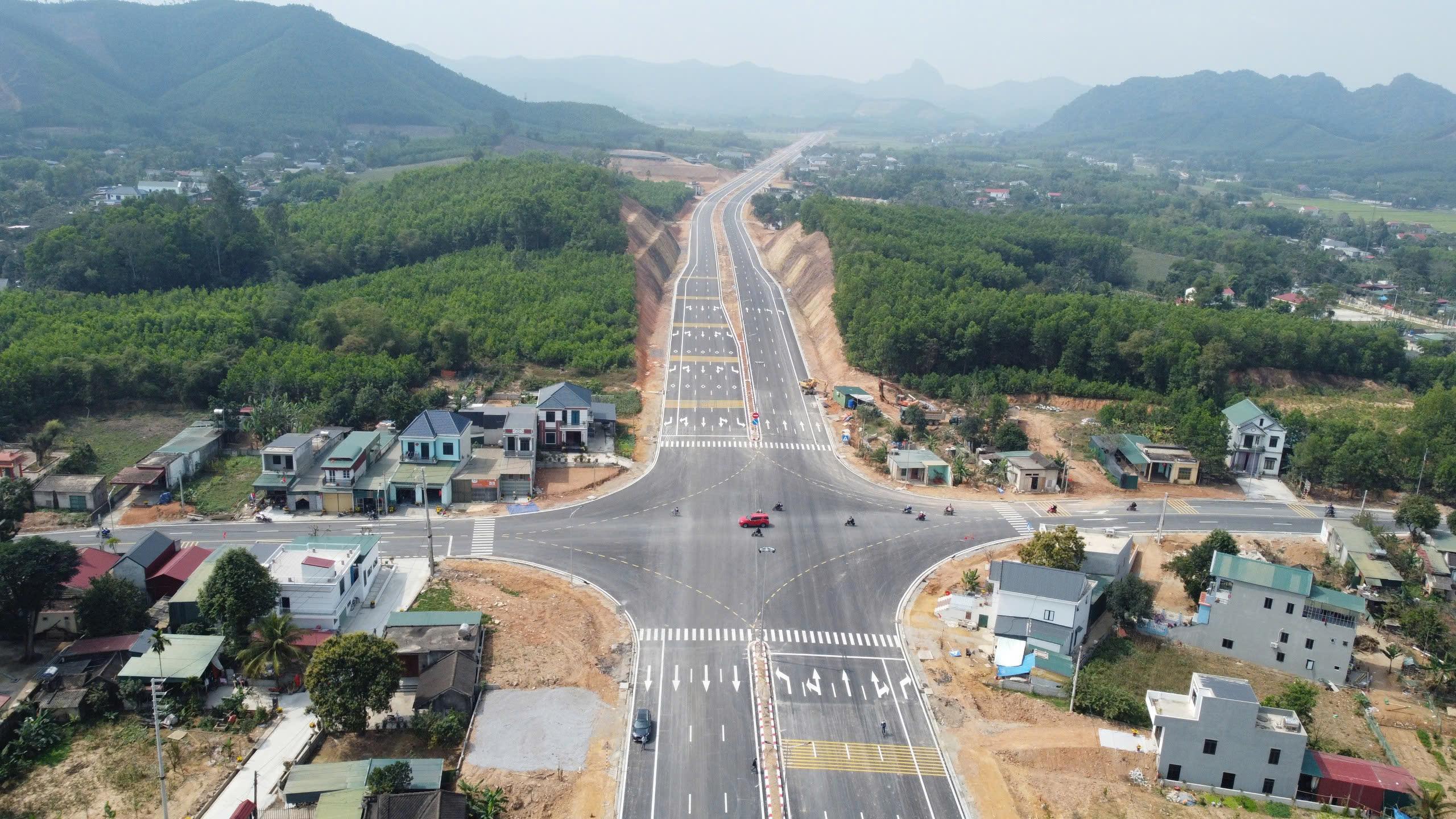
 A study by Tran Thanh Son and colleagues on the Ben En–Ben Sung town center road project, in what is now Nhu Thanh commune, Thanh Hoa province, Viet Nam, demonstrates that integrating unmanned aerial vehicle (UAV) photogrammetry with MicroStation V8i can produce a land-use status map that meets the accuracy requirements for large-scale mapping. The results provide detailed geospatial data and identify 136,032.6 m² of land within the project’s acquisition boundary, supporting land inventory and the preparation of compensation, assistance, and resettlement plans.
A corridor-wide approach to site-clearance planning
Road projects require comprehensive information on the location, boundaries, area, and land-use purposes of affected parcels to support land acquisition and site clearance. This requirement is particularly demanding for roads that cross a mix of residential and agricultural areas, where mapping must capture the entire project corridor while allowing the impacts on individual parcels to be identified accurately.
In response to these requirements, Tran Thanh Son, Nguyen Quang Vinh, Vu Nguyen Yen Vy, Phan Thi Kim Thi, and Hoang Ba Dung combined UAV technology integrated with satellite positioning systems and the specialized mapping software MicroStation V8i to produce a land-use status map for the Ben En–Ben Sung town center road project.
The road section investigated in the study is 2.768 km long and passes through areas with different land-use types and categories of land users. Rather than relying solely on coordinate measurements at individual points, the research team conducted aerial surveys along the road corridor to capture imagery over a wider area. This approach enabled the simultaneous observation of existing features, including roads, canals, drainage systems, residential boundaries, cultivated land, and structures associated with land parcels.
The imagery was processed using Agisoft Metashape and the Structure from Motion (SfM) algorithm to generate a dense point cloud, a digital elevation model (DEM), and an orthomosaic. The orthomosaic achieved an average ground sampling distance (GSD) of 3.5 cm per pixel, providing detailed imagery for identifying and digitizing features in the mapping process.
High-resolution imagery, however, represents only one component of the mapping requirements. To make the resulting data suitable for land administration, the researchers combined ground control points (GCPs) and check points surveyed using Global Navigation Satellite Systems (GNSS) with real-time kinematic (RTK) positioning and direct field surveys. Additional measurements were taken using an electronic total station in areas where tree canopies or roofs obscured ground features. Information on land origin, parcel boundaries, and land users was also collected to establish the attributes associated with individual parcels.
The value of this workflow lies not only in its ability to capture imagery over a broad area but also in its integration of geospatial data with field-based information. This provides a basis for converting high-resolution imagery into data that can directly support land-use status mapping and site-clearance operations.
Accuracy underpins the reliability of mapping data
Image resolution and map accuracy are related but distinct properties. While detailed imagery helps identify features on the ground, the control of surveying and positioning errors determines the reliability of the information represented on the map.
The field trial in Nhu Thanh produced an orthomosaic with an average GSD of 3.5 cm per pixel. The horizontal root mean square error (RMSE XY) was 0.045 m, while the vertical root mean square error (RMSE Z) of the digital elevation model was 0.09 m. The research team used 15 check points surveyed with GNSS RTK to independently verify the results.
According to the authors, these accuracy indicators meet the technical requirements cited under Circular No. 07/2021/TT-BTNMT for mapping at scales of 1:500 in residential areas and 1:1,000 in mountainous and foothill areas. The findings indicate that UAV technology, when combined with appropriate ground control and check points and a suitable processing workflow, can produce mapping data that meet the required accuracy standards under the conditions examined in the study.
Following image processing, the orthomosaic was imported into MicroStation V8i to digitize parcel boundaries, the transportation network, and hydrographic features. Specialized cadastral tools, including Gcadas and Vietmap XM, were then used to process topological relationships, edit boundaries between adjacent map sheets, and extract a consolidated land inventory register.
This workflow is significant because the imagery is not merely a visual representation of existing conditions. It is converted into a vector map in which features are represented by geometric structures and linked to their corresponding attribute information. This provides a more consistent framework for retrieving, cross-checking, and compiling data for individual land parcels.
According to the authors, the application of UAV technology also reduced field-survey time by more than 60%. The ability to capture imagery over large areas helped reduce the volume of direct ground-survey work, while the imagery provided a basis for identifying features and locating areas requiring additional field investigation. This efficiency is particularly relevant to linear transportation projects, where survey areas extend over considerable distances and ground-access conditions can vary along the route.
Nevertheless, the Nhu Thanh case also highlights the importance of quality control in UAV-based mapping. Additional measurements in obstructed areas, accuracy checks, and field verification of land information remain necessary to ensure that the resulting maps are fit for their intended purpose.
Quantifying land affected by the project
One notable outcome of the study is its ability to quantify the area and composition of land within the project’s acquisition boundary. Statistics compiled from the map and land inventory register show that the area within the acquisition boundary totaled 136,032.6 m², equivalent to approximately 13.60 hectares. The total area of the original parcels affected by the project exceeded 30.5 hectares, involving nearly 400 parcels.
These figures represent two different spatial extents: the total area of the original parcels affected by the project and the portion actually falling within the acquisition boundary. Distinguishing between them provides a clearer basis for land inventory and compensation planning.
By land management and use category, households and individuals accounted for 62.49% of the land within the acquisition boundary, equivalent to 85,004.8 m². The remaining area comprised land managed by the commune-level People's Committee, land managed by state agencies and institutions, and land held by economic organizations. This distribution shows that land-acquisition planning must account for different categories of land users and management arrangements.
By land-use type, urban residential land accounted for 30.99% of the total area to be acquired, while paddy land accounted for 26.35%. Notably, residential land and perennial-crop land within the same residential parcels together represented nearly 49% of the total area to be acquired. These figures indicate that the project's impacts extend beyond agricultural production land to include a substantial area of residential land and assets associated with land.
Differences in land-use types and user categories mean that land inventory involves more than determining the total area to be acquired. Detailed information on parcel locations, boundaries, areas, and land-use purposes is needed to review records, compare documented information with existing conditions, and prepare appropriate compensation plans.
In this context, the land-use status map links geospatial data with the information required for land administration. The orthomosaic provides a visual reference for existing conditions, while the parcel map and land inventory register organize information associated with individual parcels. Combining these data sources facilitates the inspection, compilation, and processing of project-related information.
Digital cadastral data for transparent compensation planning
The practical value of the study extends beyond producing an accurate map to providing data for subsequent stages of land acquisition. For agencies responsible for land acquisition and site clearance, information on parcel area, land-use type, boundaries, and land management and use is essential for reviewing records and preparing compensation, assistance, and resettlement plans.
Integrating the orthomosaic with the digital parcel map enables existing conditions shown in the imagery to be compared with digitized features. When these data are verified and used alongside relevant cadastral records, the authorities have a stronger basis for explaining the acquisition boundary, clarifying the area affected, and supporting the disclosure of compensation plans.
This approach is particularly relevant to road projects that cross areas with diverse land-use patterns. A clearly organized data system can reduce reliance on fragmented information sources and help identify issues requiring further verification before the relevant documentation is finalized. However, mapping data can deliver their full value only when checked against legal records, field-verification results, and applicable regulations. Digital maps do not replace these procedures.
Based on the Nhu Thanh case, the authors recommend further development of the legal framework and technical guidance for UAV applications in cadastral surveying. They also propose expanding the use of UAV data to develop three-dimensional models and integrating digital maps into land database systems to support the management of land-use changes after project completion. These proposals represent potential directions for further development and require additional research, implementation, and evaluation under different practical conditions.
More broadly, combining UAV technology with specialized mapping software demonstrates the potential to improve the quality of data used in land administration and infrastructure development. The study's contribution lies in integrating high-resolution image acquisition, accuracy control, and structured geospatial data that can be used for practical management purposes.
The Nhu Thanh case provides a reference for applying geospatial technologies to transportation projects that require land-use status mapping. When implemented with appropriate quality-control procedures and linked to relevant legal records, digital data can support land inventory, compensation planning, and land administration by providing information that is more consistent and readily verifiable.
Sources: This article based on the research paper “Application of UAV technology and Microstation V8I in constructing land use status maps for road traffic project in Nhu Thanh, Thanh Hoa province” by Tran Thanh Son, Nguyen Quang Vinh, Vu Nguyen Yen Vy, Phan Thi Kim Thi, Hoang Ba Dung, published in the Special Issue on “Land administration in the digital era”, Science Journal of Agriculture and Environment, July 2026.
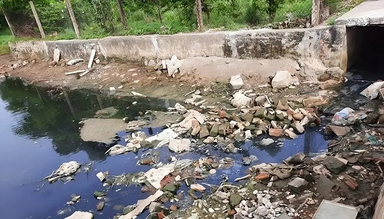
The application of low-frequency ultrasound irradiation to domestic wastewater has demonstrated its potential to reduce organic matter and microbial counts in experimental samples, according to a study by Hoang Duc An, Huynh Thi Minh Thanh, and Vo Thi Hong Phuong of the Faculty of Natural Sciences, Quy Nhon University. The findings also indicate that treatment performance depends on operating conditions and influent wastewater quality, suggesting that ultrasound could serve as a supplementary step in wastewater treatment processes.
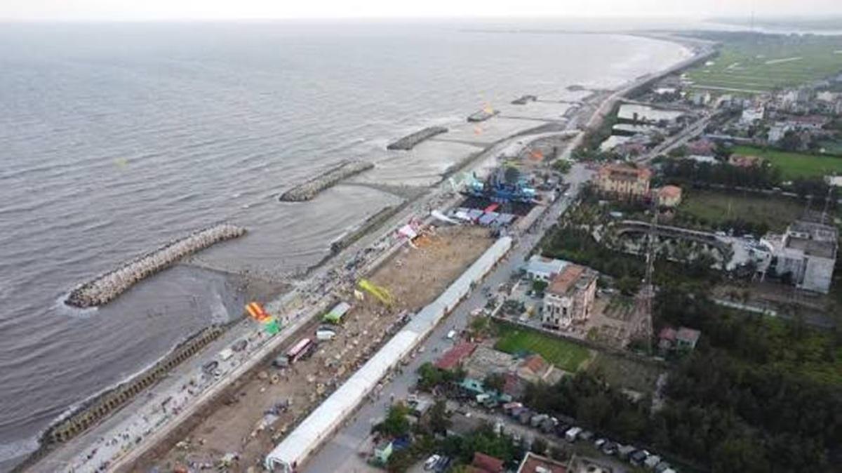
Producing cadastral extract maps in extensive aquaculture areas requires data acquisition methods that are both efficient and accurate, including in locations with extensive water surfaces and limited physical accessibility. A study by Phan Van Khue and Nguyen Duc Loc in Ninh Binh province, Viet Nam, shows that unmanned aerial vehicle (UAV) technology, combined with global navigation satellite system/real-time kinematic (GNSS/RTK) positioning and field verification, can meet the requirements for large-scale cadastral mapping, improve surveying efficiency, and provide data to support land administration.
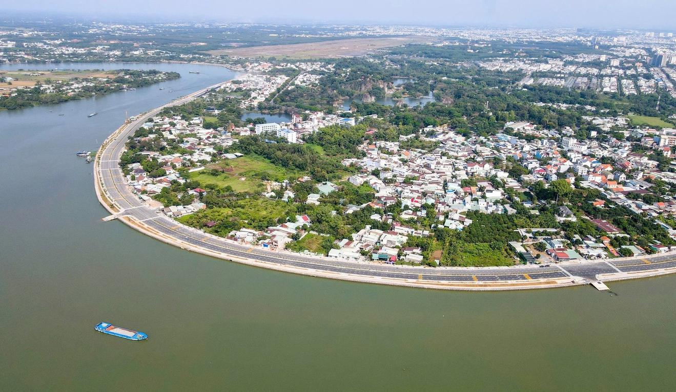
By integrating Landsat 8 satellite imagery with the NDVI, LST, and VTCI indices on the Google Earth Engine platform, researchers from the Southern Institute of Water Resources Planning have developed an agricultural drought-zoning map for the Dong Nai River Basin for 2014–2024. Comparisons with reference drought indices and field survey findings suggest that the approach has potential for identifying drought-prone areas, particularly agricultural areas outside the service areas of irrigation infrastructure.

Selecting technologies suited to specific agroecological zones and producers’ capacity is an approach proposed by Nguyen Trong Tuan Anh, MSc, to strengthen agricultural resilience, improve resource-use efficiency, and advance green and circular production.
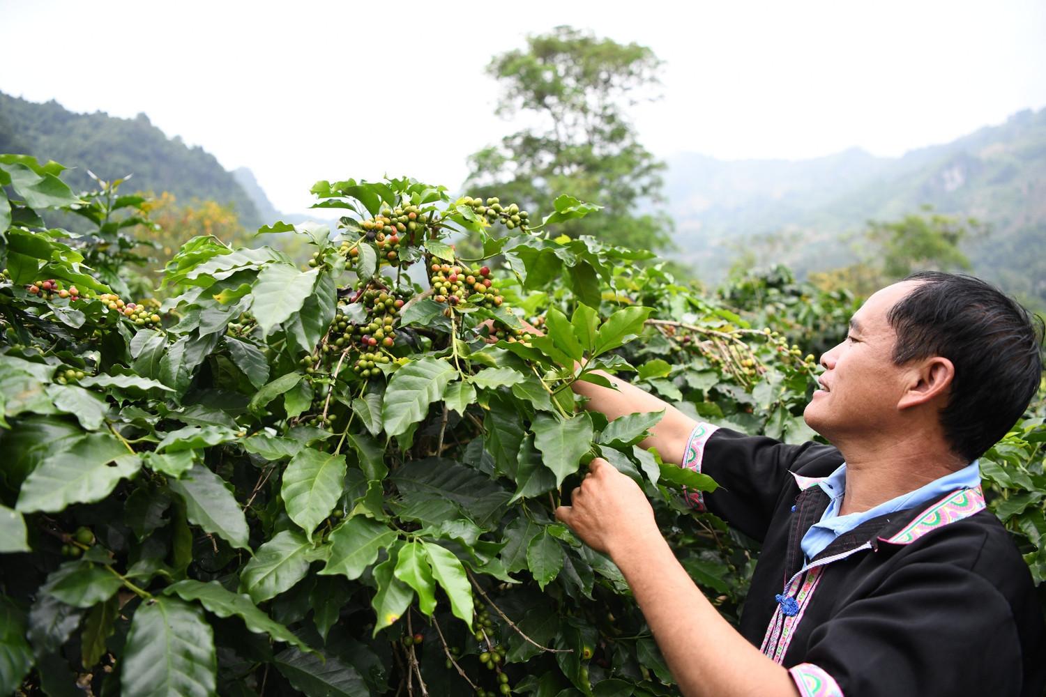
Using remote sensing data, geographic information systems (GIS), and the Analytic Hierarchy Process (AHP), Vietnamese scientists have developed a map of the potential for Arabica coffee cultivation on sloping land in Dien Bien Province. The findings identify areas with suitable natural conditions and provide a scientific basis for cultivation-zone planning, crop restructuring, and more efficient use of land and water resources in a mountainous province in northwestern Viet Nam.