




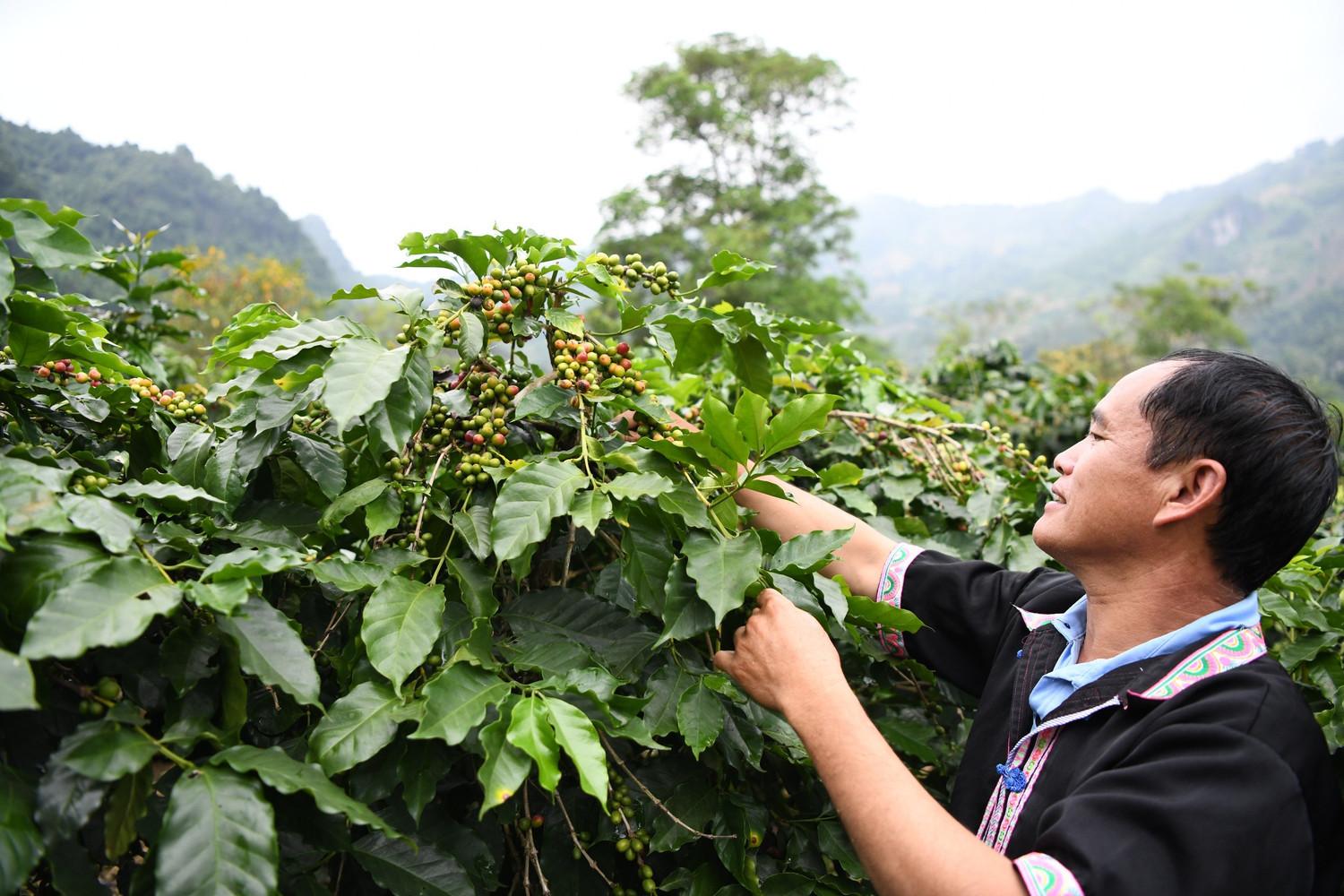
 Using remote sensing data, geographic information systems (GIS), and the Analytic Hierarchy Process (AHP), Vietnamese scientists have developed a map of the potential for Arabica coffee cultivation on sloping land in Dien Bien Province. The findings identify areas with suitable natural conditions and provide a scientific basis for cultivation-zone planning, crop restructuring, and more efficient use of land and water resources in a mountainous province in northwestern Viet Nam.
A data-driven approach to assessing Arabica coffee potential
Dien Bien has predominantly steep, highly dissected mountainous terrain, with an average annual temperature of approximately 21–23°C and many areas at elevations suitable for Arabica coffee. As some traditional crops continue to generate limited economic returns, the province is promoting high-value crops such as coffee, macadamia and tea. The study reports that by 2026, the province's coffee area had reached 8,378 ha, an increase of 77.21% from the same period a year earlier. However, expanding the cultivated area can only be sustainable when production zones are identified based on soil conditions, terrain, climate and water availability.
The authors, Dinh Xuan Hung, Bui Tuan Hai, Nguyen Ngoc Sang and Tran Thi Thanh Dung of the Institute of Water Resources Planning (IWRP), combined remote sensing data, GIS technology and the Analytic Hierarchy Process (AHP). Developed by Thomas L. Saaty, AHP is a multi-criteria decision-making method that enables pairwise comparison of criteria, quantification of priorities and assessment of the consistency of the evaluation process. In this study, five groups of information were integrated: soil, elevation, average annual rainfall, slope and annual runoff modulus.
Digital elevation data were obtained from NASA's Shuttle Radar Topography Mission (SRTM) model at a spatial resolution of 30 m. The slope layer was derived from the elevation model using the Slope tool in QGIS. Soil information was derived from the National Water Resources Atlas. Average annual rainfall for the 1981–2025 period was calculated from Climate Hazards Center InfraRed Precipitation with Station data (CHIRPS). Because the original rainfall data had a spatial resolution of 5 km, the researchers interpolated the data to a 30-m resolution using bilinear interpolation in QGIS to ensure consistency with the other spatial data layers.
For the water factor, the study used flow data from the Muong Lay, Ban Yen and Na Sang–Nam Muc stations collected by the Institute of Water Resources Planning through various projects. Based on long-term mean flow and watershed area, the authors calculated the annual runoff modulus. This indicator indirectly reflects the density and potential of surface-water generation from rainfall under prevailing natural conditions, thereby supporting an assessment of whether agricultural areas have the potential to meet the water requirements of Arabica coffee. The authors note that this assessment covers natural conditions only and does not include the effects of irrigation infrastructure or actual irrigation-water availability.
The baseline data layer was developed from the land-use map under the Dien Bien Provincial Land Use Plan. The researchers converted the data from DGN format to shapefile format and excluded land categories outside the scope of the assessment, including protection forests, urban residential land, defense and security land, water bodies and transportation land. The analytical area was further combined with a slope condition of 3° or greater, consistent with the objective of assessing sloping land with potential for agricultural production.
The criteria were compared using Saaty's 1–9 scale. The resulting weights showed that soil had the highest priority, at 0.41, followed by elevation at 0.27, rainfall at 0.16, slope at 0.11, and annual runoff modulus at 0.05. The matrix had a maximum eigenvalue of 5.36, a consistency index (CI) of 0.09, a random index (RI) of 1.12, and a consistency ratio (CR) of 0.08. Because the CR was below 0.1, the pairwise comparisons were considered internally consistent and suitable for integrating the data layers.
Based on the crop's growth requirements and relevant literature, each criterion was divided into three levels. The "very high potential" category comprised areas with reddish-brown or yellowish-brown soils, elevations of 1,000–2,000 m, annual rainfall of 1,500–2,000 mm, slopes of 3–8°, and annual runoff modulus values of 40 to less than 60 L/s/km². The "high potential" category included ferric acrisols or humic acrisols in mountainous areas, elevations of 600–1,000 m, annual rainfall of 1,000–1,500 mm, slopes of 8–15°, and annual runoff modulus values of 20 to less than 40 L/s/km². Values outside these suitable thresholds were classified as "low potential."
After standardization, the data layers were overlaid in GIS using the AHP-derived weights. The composite index ranged from 1 to 3 and was classified using the equal-interval method: 1.00–1.67 was classified as low potential; above 1.67 to 2.34 as high potential; and above 2.34 to 3.00 as very high potential. This approach converts multiple data sources with different structures and units into a composite map, enabling users to identify spatial patterns rather than relying solely on separate numerical tables.
369,469 ha identified as high or very high potential
The potential map shows that 27,153 ha, equivalent to 2.84% of the province's total area, were classified as having low potential. The high-potential area covered 276,597 ha, or 28.96%, and was widely distributed across numerous communes, including Muong Ang, Na Sang, Si Pa Phin and Na Hy. The very-high-potential category covered 92,872 ha, or 9.72%, concentrated in communes such as Muong Ang, Si Pa Phin, Sang Nhe, Sinh Phinh, Pu Nhung, Pu Nhi and Na Son. In total, 369,469 ha were identified as having either high or very high potential.
Muong Ang emerged as a particularly notable area. According to the study's statistics, approximately 1,239 ha in the commune were classified as having very high potential, equivalent to about 14.25% of its area, while 2,893 ha, or approximately 33.5%, were classified as having high potential. These findings are consistent with the recognized role of Muong Ang in Dien Bien's coffee production and indicate scope for further assessment of potential cultivation zones. However, a potential map does not mean that all identified areas can be immediately converted to coffee cultivation. Specific decisions must also take into account existing land use, land-use rights, infrastructure, irrigation water, markets and environmental protection requirements.
The authors nevertheless exercise caution in interpreting the findings. A CR of 0.08 demonstrates the consistency of the comparisons within the matrix, but does not establish that the assigned weights fully and accurately represent the actual influence of each factor on coffee yield or quality. The criteria are currently considered primarily as independent variables, whereas soil, elevation, rainfall, slope and water availability may interact with one another. Suitable conditions may also change over time under the influence of climate change, land-use conversion and changes in hydrological regimes.
Accordingly, the study proposes several next steps, including validating the weights through field surveys, yield data and the distribution of existing coffee-growing areas; conducting sensitivity analyses under different weighting scenarios; and examining the relationships among the criteria in greater depth. The water factor should be expanded beyond rainfall and natural runoff modulus to include the water-supply capacity of reservoirs, irrigation infrastructure and irrigation systems. Socioeconomic variables, such as distance to roads and processing facilities, labor availability, investment costs and market access, should also be incorporated so that the map can more comprehensively reflect the feasibility of developing cultivation zones.
For international readers, the study demonstrates how widely used geospatial tools can be applied to a specific agricultural development challenge in Viet Nam's mountainous regions. The objective is not simply to expand the area under Arabica coffee, but more importantly to identify areas with suitable conditions, areas requiring additional investment in water and infrastructure, and areas where expansion should not be pursued. A data-driven approach can help balance livelihood improvement, development of the coffee value chain and the sustainable management of sloping land—a critical resource that is particularly vulnerable to erosion and degradation when used inappropriately.
The potential map should therefore be regarded as a decision-support tool rather than a substitute for field-based assessment. When updated with data on yield, bean quality, irrigation-water availability, processing infrastructure and climate scenarios, the model could provide a foundation for more precise planning of Arabica coffee-growing areas. The Dien Bien case also demonstrates the potential for applying an integrated remote sensing, GIS and AHP approach to other high-value crops in Viet Nam's northern midland and mountainous regions.
The study forms part of the results of the project entitled "Research on the scientific basis and proposal of water-management solutions appropriate to water availability for sloping areas with potential for producing high-value crops in the Northern midlands and mountainous region," implemented during 2024–2026. Linking crop-potential assessment with water availability enables the research to move beyond a simple land-suitability classification exercise toward supporting scientifically grounded agricultural production planning that is better adapted to climate change.
Source: Dinh Xuan Hung, Bui Tuan Hai, Nguyen Ngoc Sang and Tran Thi Thanh Dung, "Application of remote sensing data, geographic information systems, and analytic hierarchy process (AHP) methodology in constructing a map of the potential for Arabica coffee cultivation on sloping land in Dien Bien province."
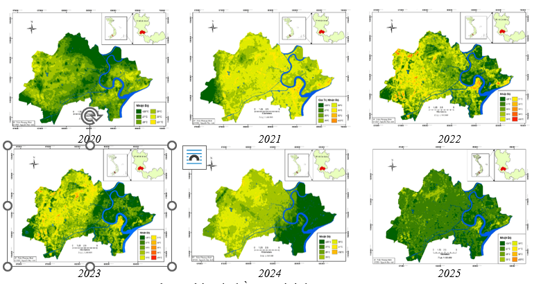
Against the backdrop of climate change and rapid urbanization, land surface temperature (LST) in major cities tends to increase, thereby intensifying the urban heat island (UHI) effect. A study by Tran Van Trong, Nguyen Huy Anh, Tran Phuong Binh, and Bach Van Luong of Ho Chi Minh City University of Natural Resources and Environment aims to develop a workflow for monitoring and assessing LST variation in Ho Chi Minh City during 2020–2025 through the integration of remote sensing data and geographic information systems (GIS).
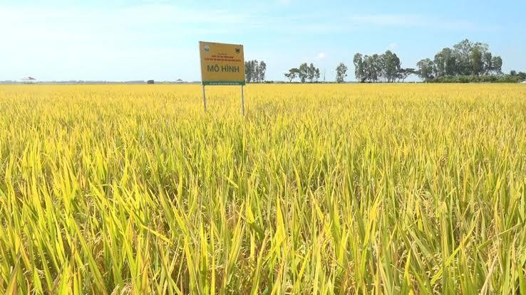
Whether rice paddy fields are inundated or dry produces distinct signatures in radar imagery. Building on this characteristic, researchers from the Southern Institute of Water Resources Research and the Vietnam National Space Center, Viet Nam Academy of Science and Technology, tested a method for detecting inundation in rice paddy fields in An Giang Province, providing an additional source of data for monitoring water regimes and estimating methane emissions from rice cultivation.
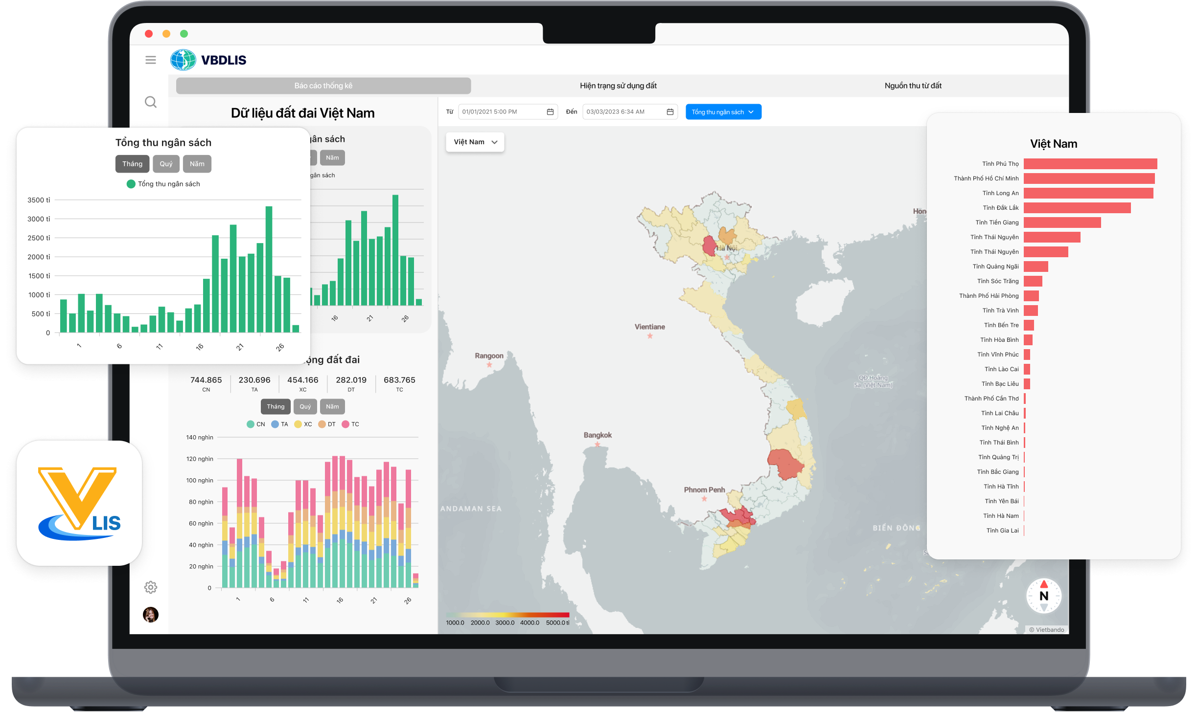
A land database can fully realize its value only when its data are accurate, complete, clean, up to date, and capable of being connected to and shared across the state management system. A study by Nguyen Dinh Trung of Vietnam National University of Agriculture and Nguyen Quang Thi of Thai Nguyen University of Agriculture and Forestry shows that applying VBDLIS in Nghe An province provided substantial support for organizing, reviewing, supplementing, synchronizing, and utilizing land data during the campaign to enrich and clean the national land database.

As digital transformation becomes a new driver of development, Vietnamese researchers have proposed a planning information system model that applies Geographic Information Systems (GIS) and artificial intelligence (AI) in Vinh Long Province. The research contributes to modernizing planning administration while introducing a new approach to digital government and data-driven governance in Viet Nam.

Using waste ethylene-vinyl acetate (EVA) shoe soles and vulcanized rubber—materials traditionally considered difficult to recycle—a research team from the School of Materials Science and Engineering at Hanoi University of Science and Technology has successfully developed a fully recycled composite material, creating potential new applications in green manufacturing and sustainable industrial production. The study not only contributes to addressing industrial waste challenges but also highlights Vietnam’s growing research and innovation capacity in sustainable materials and the circular economy.