




 Producing cadastral extract maps in extensive aquaculture areas requires data acquisition methods that are both efficient and accurate, including in locations with extensive water surfaces and limited physical accessibility. A study by Phan Van Khue and Nguyen Duc Loc in Ninh Binh province, Viet Nam, shows that unmanned aerial vehicle (UAV) technology, combined with global navigation satellite system/real-time kinematic (GNSS/RTK) positioning and field verification, can meet the requirements for large-scale cadastral mapping, improve surveying efficiency, and provide data to support land administration.
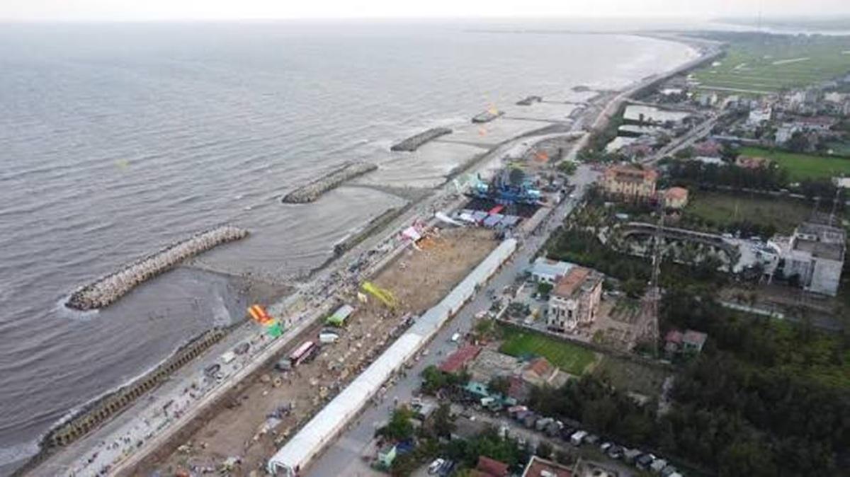
UAV imagery for large-scale cadastral mapping
Cadastral maps provide an important technical basis for identifying land parcel boundaries, areas, and associated information in support of land administration and land use. However, in production areas with complex terrain or numerous aquaculture ponds, conventional ground surveys can be time-consuming, depend on field accessibility, and require considerable personnel deployment across large areas.
UAV technology offers an approach to data acquisition that can cover extensive survey areas while providing high-resolution imagery for identifying features on the ground. Its value lies not only in rapid image acquisition but also in the integration of aerial imagery with positioning technology and specialized processing tools to produce maps at an appropriate level of detail.
In their study, “Application of unmanned aerial vehicle (UAV) technology in cadastral extract map production”, Phan Van Khue and Nguyen Duc Loc, from the Faculty of Natural Resources and Environment at Vietnam National University of Agriculture, conducted a field experiment in an aquaculture area in Rang Dong Commune, Ninh Binh Province. The study aimed to evaluate the applicability of UAV technology for producing cadastral extract maps at a scale of 1:1,000 to support land administration.
The researchers used a Phantom 4 Pro RTK UAV in combination with GNSS/RTK positioning technology to determine image exposure station coordinates. During the survey, the UAV completed 40 flight lines in approximately 21 minutes and acquired 990 digital images. The ground sampling distance (GSD) was 4.86 cm, providing a basis for identifying land use conditions and delineating features for mapping.
All 990 images met the required quality criteria during the preliminary assessment conducted before processing. The authors also reported an average positional error of 3.98447 mm for the image exposure stations, which they considered to meet the accuracy requirements for large-scale cadastral mapping. These findings demonstrate the potential of a properly designed UAV survey to acquire substantial volumes of imagery in a short period, particularly in extensive aquaculture areas where ponds and water surfaces are interspersed.
Integrating image processing with field verification
UAV imagery can support cadastral mapping only when it is processed, verified, and converted into mapped information that meets the applicable technical requirements. In this study, the researchers developed a workflow comprising technical planning and aerial image acquisition, image processing, orthophoto generation, image interpretation and map editing, field verification, product finalization, and quality assessment.
The acquired images were processed using Agisoft Metashape Professional to generate a digital surface model (DSM) and an orthophoto. The orthophoto was then imported into MicroStation for image interpretation, digitization, and editing of mapped features. Gcadas software was used to calculate land areas and compile land-use statistics.
This approach enables the researchers to use the detailed information captured in UAV imagery within the cadastral mapping workflow. Identifiable features are delineated on the maps, land parcels are assigned attribute information, and land areas are calculated by land-use category. Together, these outputs provide a structured representation of land use conditions across the study area.
However, the researchers did not rely on UAV imagery as the sole source of information for the surveying process. Some features may be obscured or difficult to distinguish in the images and therefore require direct field inspection. The study incorporated supplementary GNSS/RTK measurements at these locations. The surveyed points were then incorporated into the map to verify the results and make the necessary corrections.
Field verification is an important component of quality control. High-resolution imagery supports feature identification and the preliminary delineation of boundaries, while field measurements help resolve locations where the available imagery does not provide sufficient information. Integrating aerial imagery, positioning technology, and supplementary ground measurements is therefore essential to the workflow tested by the researchers.
According to the authors, the quality assessment showed that the features checked met the applicable technical requirements. This result indicates that the workflow, which combines UAV technology with field verification and map refinement, can support cadastral extract map production under the conditions encountered in the study area.
Mapping land use in the aquaculture area
A key outcome of the field experiment was the successful production of three cadastral extract map sheets at a scale of 1:1,000, covering a total area of 2,583,510.7 m², equivalent to approximately 258.35 hectares. The maps delineate land parcels and record associated information, while providing data for compiling statistics on land use across the study area.
Aquaculture land accounted for 1,500,606.0 m², or 58.09% of the total surveyed area, making it the largest land-use category. This proportion is consistent with the area's predominant production activity. Rivers and water surfaces designated for specific uses covered approximately 65.96 hectares, accounting for 25.53% of the total area.
These results illustrate the practical requirements of cadastral surveying in aquaculture areas, where parcel boundaries must be delineated within a landscape comprising ponds, water surfaces, roads, and irrigation infrastructure. Identifying features, delineating boundaries, and calculating land areas within a single data system facilitate the retrieval and verification of information for land administration.
Covering more than 258 hectares, the survey also provides a practical example of UAV deployment over a relatively extensive area. Rather than evaluating image quality or surface modeling alone, the researchers used the acquired data to produce cadastral extract maps, demonstrating the technology's applicability to a specific surveying task.
The significance of these findings does not lie in the ability of UAVs to automate every stage of cadastral mapping. The quality of the final product depends on the entire process, including flight planning, image processing, interpretation, supplementary surveying, and quality control. Within the scope of this field experiment, the production of three map sheets and the resulting land-use statistics demonstrate that the workflow can support cadastral mapping in areas with similar land use characteristics.
Implications for land administration and cadastral data updating
The findings of Phan Van Khue and Nguyen Duc Loc provide further evidence of the potential of UAV technology for cadastral surveying, particularly in large areas with extensive water surfaces or limited accessibility for conventional ground surveys. Rapid image acquisition, combined with specialized processing and mapping tools, can increase automation in selected stages of the workflow and support the identification and updating of land use conditions.
For land administration, complete and verified cadastral data provide a basis for monitoring parcel boundaries, calculating land areas, and checking land use information. The workflow tested in this study offers a potential reference for producing, revising, and updating cadastral data in areas with comparable conditions.
Technology selection and implementation must nevertheless take into account local terrain, survey objectives, and the technical requirements applicable to each area. Locations where features are obscured or cannot be clearly identified in the imagery require further field inspection and supplementary measurements. These activities form an integral part of the UAV-based workflow and help ensure the completeness and reliability of the final mapping product.
The field results from Ninh Binh demonstrate the potential of UAV technology to support the modernization of cadastral surveying. The practical contribution of the study lies in developing and testing a workflow that converts aerial imagery into cadastral mapping products for land administration. When applied under appropriate field conditions and combined with systematic quality control, this approach can contribute to the production and updating of land databases.
Source: This article based on the research paper “Application of unmanned aerial vehicle (UAV) technology in cadastral extract map production” by Phan Van Khue and Nguyen Duc Loc, published in the Special Issue on “Land administration in the digital era”, Science Journal of Agriculture and Environment, July 2026.
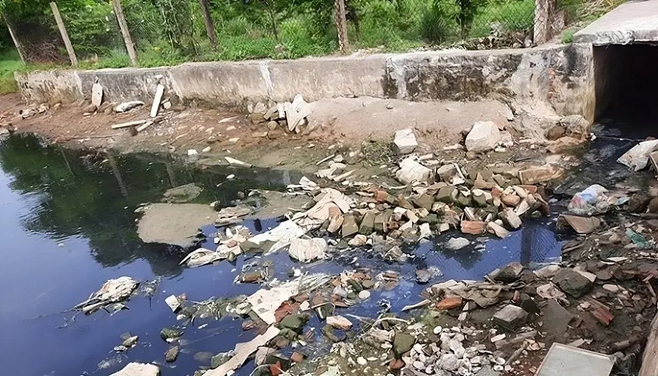
The application of low-frequency ultrasound irradiation to domestic wastewater has demonstrated its potential to reduce organic matter and microbial counts in experimental samples, according to a study by Hoang Duc An, Huynh Thi Minh Thanh, and Vo Thi Hong Phuong of the Faculty of Natural Sciences, Quy Nhon University. The findings also indicate that treatment performance depends on operating conditions and influent wastewater quality, suggesting that ultrasound could serve as a supplementary step in wastewater treatment processes.
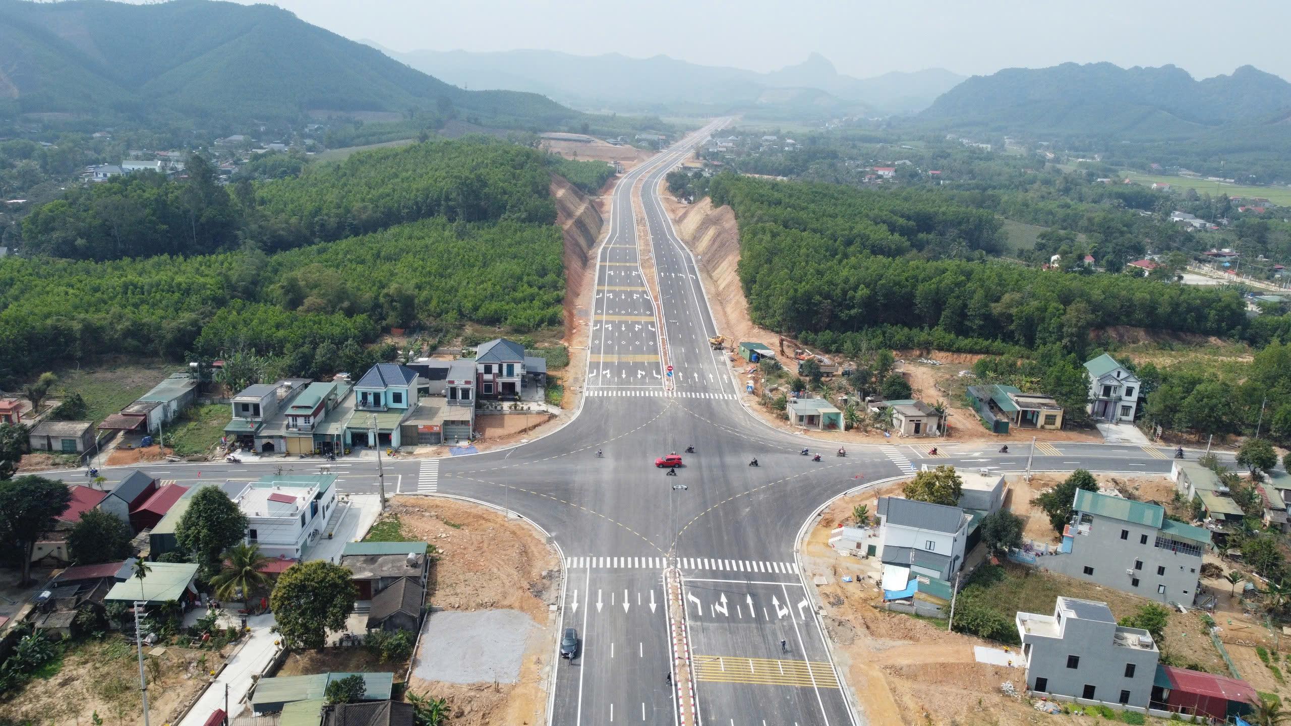
A study by Tran Thanh Son and colleagues on the Ben En–Ben Sung town center road project, in what is now Nhu Thanh commune, Thanh Hoa province, Viet Nam, demonstrates that integrating unmanned aerial vehicle (UAV) photogrammetry with MicroStation V8i can produce a land-use status map that meets the accuracy requirements for large-scale mapping. The results provide detailed geospatial data and identify 136,032.6 m² of land within the project’s acquisition boundary, supporting land inventory and the preparation of compensation, assistance, and resettlement plans.
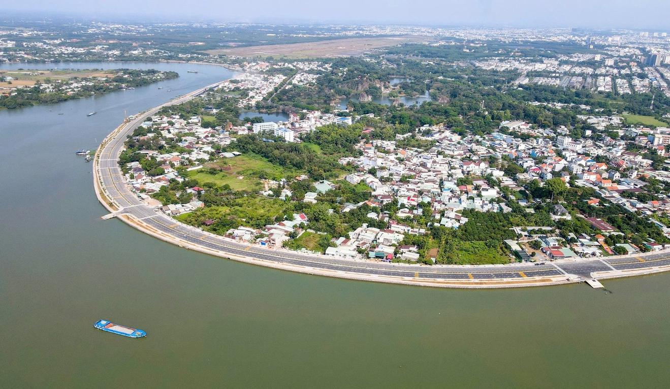
By integrating Landsat 8 satellite imagery with the NDVI, LST, and VTCI indices on the Google Earth Engine platform, researchers from the Southern Institute of Water Resources Planning have developed an agricultural drought-zoning map for the Dong Nai River Basin for 2014–2024. Comparisons with reference drought indices and field survey findings suggest that the approach has potential for identifying drought-prone areas, particularly agricultural areas outside the service areas of irrigation infrastructure.

Selecting technologies suited to specific agroecological zones and producers’ capacity is an approach proposed by Nguyen Trong Tuan Anh, MSc, to strengthen agricultural resilience, improve resource-use efficiency, and advance green and circular production.
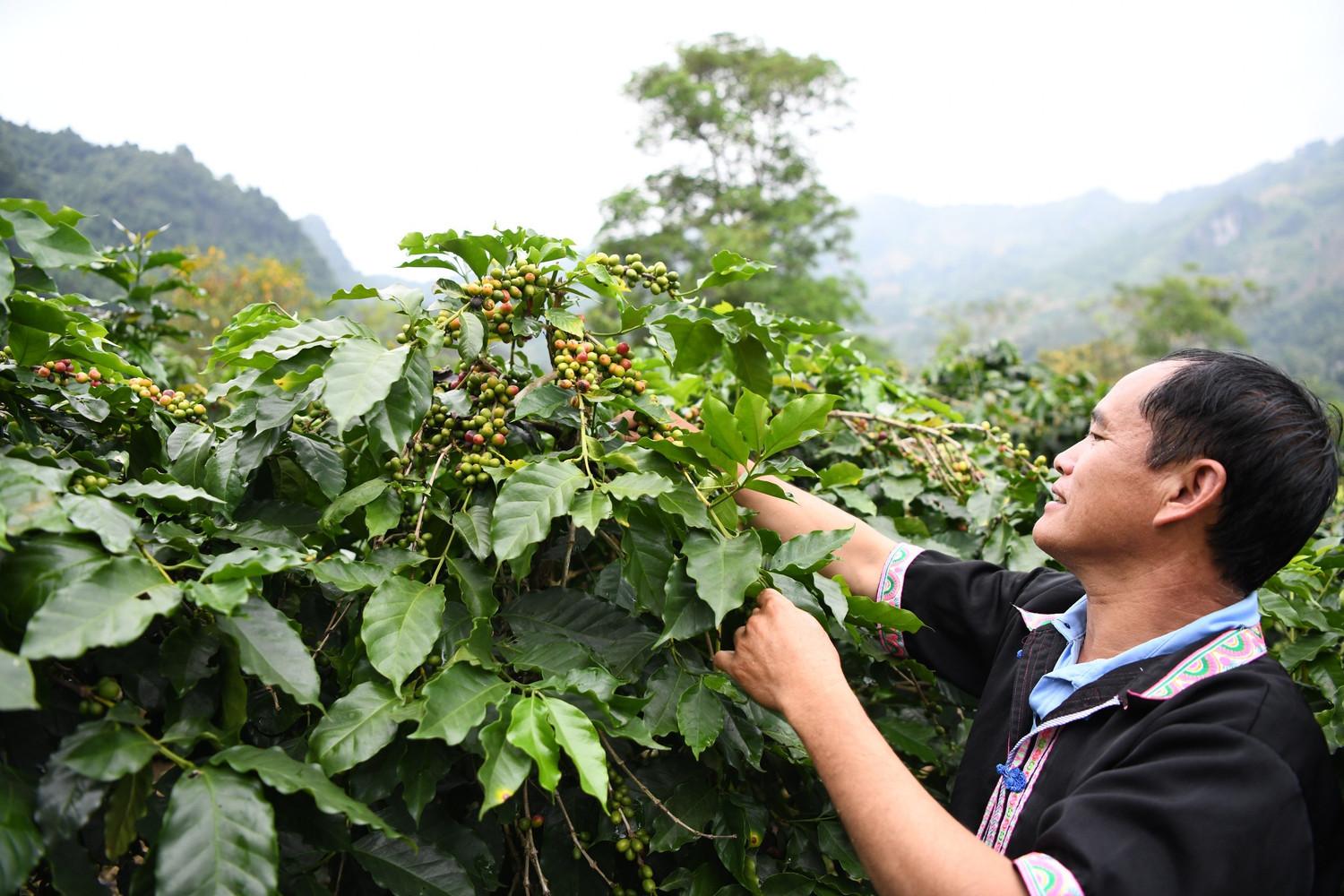
Using remote sensing data, geographic information systems (GIS), and the Analytic Hierarchy Process (AHP), Vietnamese scientists have developed a map of the potential for Arabica coffee cultivation on sloping land in Dien Bien Province. The findings identify areas with suitable natural conditions and provide a scientific basis for cultivation-zone planning, crop restructuring, and more efficient use of land and water resources in a mountainous province in northwestern Viet Nam.