



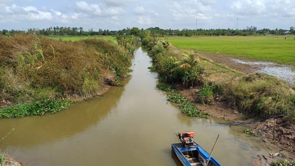
 Saline intrusion is posing growing challenges to agricultural production in the lower Hau River region, where agricultural land use is closely linked to water availability. A study conducted in the former Soc Trang province, now part of Can Tho city, assessed saline intrusion risk to agricultural land use in 2024 under the RCP 4.5 and RCP 8.5 climate change scenarios for 2030 and 2050. The results show that the area of rice cultivation affected by higher salinity levels tends to increase, providing an additional scientific basis for land use planning and the selection of appropriate adaptation-oriented farming systems.
Mapping land use with remote sensing data
Assessing how saline intrusion may affect agricultural production first requires an understanding of how land is currently used. In the area corresponding to former Soc Trang Province before the 2025 provincial-level administrative reorganization, now part of Can Tho city, researchers from Can Tho University and Can Tho Technical Economic College developed a 2024 land use map using satellite imagery.
The study employed multi-temporal Sentinel-1A and Sentinel-2 MSI satellite imagery collected throughout 2024. Sentinel-1A provided radar data, while Sentinel-2 provided optical data. Combining the two data sources helped reduce the effects of cloud cover on optical imagery while providing additional information for identifying different land use categories. The researchers then used the Random Forest algorithm to classify land use.
The classification identified 11 land use categories, including rice–shrimp farming, double-cropped rice, triple-cropped rice, other annual crops, other perennial crops, aquaculture, rivers and canals, built-up areas, forest, coconut, and sugarcane. The classification achieved an overall accuracy of 91.26%, with a Kappa coefficient of 0.89, indicating a high level of agreement between the classification results and the reference land use data.
Within this land use distribution, other perennial crops accounted for the largest area, at 132,665.06 hectares, or 40.39% of the total area. Double-cropped rice ranked second, covering 75,317.41 hectares, or 22.93%, followed by triple-cropped rice at 48,299.99 hectares, or 14.71%. Aquaculture also accounted for a substantial area, covering 29,568.08 hectares, or 9%.
In addition, the classification identified 1,718.14 hectares of rice–shrimp farming, 7,723.46 hectares of forest, 4,423.49 hectares of other annual crops, 2,982.44 hectares of coconut, and 4,626.63 hectares of sugarcane. These figures show that agricultural production in the study area extends beyond rice, encompassing a range of farming systems distributed across different spatial conditions.
This 2024 land use distribution provided the basis for the researchers to examine a more specific question: where will the land currently used for production be located within areas experiencing different salinity levels in 2030 and 2050?
Rice-growing areas show greater exposure to salinity
To address this question, the researchers used salinity zoning maps for 2030 and 2050 under the RCP 4.5 and RCP 8.5 climate change scenarios, obtained from the Department of Agriculture and Environment of Can Tho City. The maps were then compared with the 2024 land use map to determine the area of each land use category located within zones with different salinity levels.
The results show notable changes in rice cultivation areas under these scenarios. In 2030, most rice cultivation areas remained within zones with salinity levels of 0–2.5 g/L. Under RCP 4.5, this area was 72,163.4 hectares, compared with 67,370.6 hectares under RCP 8.5.
By 2050, the area of rice cultivation within the 0–2.5 g/L salinity range declined to 62,662.2 hectares under RCP 4.5 and 59,465.7 hectares under RCP 8.5. Meanwhile, the area of rice cultivation affected by higher salinity levels, exceeding 4 g/L, tended to increase.
This indicates that, under the climate change scenarios examined, some rice cultivation areas currently located in lower-salinity zones may face higher salinity levels in the coming years. The study describes this as a shift in cultivated rice areas from lower-salinity zones toward areas more strongly affected by saline intrusion.
However, the results need to be interpreted carefully. The figures were calculated by comparing the 2024 land use map with salinity distribution zones under each scenario and time horizon. They therefore represent a risk assessment rather than a conclusion that all rice cultivation areas within these zones will inevitably lose their production capacity.
Changes in salinity levels nevertheless raise concerns about maintaining traditional rice-producing areas. The study notes that increasing salinity may affect yields, while farming systems better adapted to higher salinity conditions will need to be considered according to local conditions.
The change becomes more apparent when examining rice cultivation areas affected by salinity levels exceeding 4 g/L. According to the study, under RCP 4.5, this area was estimated at 43,850 hectares in 2030 and 47,305.8 hectares in 2050. Under RCP 8.5, the corresponding figures were 50,242 hectares and 52,099.2 hectares, respectively.
Thus, under RCP 8.5, the area of rice cultivation affected by salinity levels exceeding 4 g/L increased by approximately 1,857 hectares between 2030 and 2050. Compared with RCP 4.5, the area was also larger under RCP 8.5 at both time points.
This is one of the study's notable findings, as it indicates that saline intrusion risk is not limited to areas currently unused for production but may overlap with a substantial area of existing rice cultivation. From a production perspective, this raises questions about the feasibility of maintaining current farming systems in areas facing increasingly high salinity levels.
However, the figure of 52,099.2 hectares should not be interpreted as the area of rice cultivation that will certainly be lost or become unsuitable for production by 2050. It represents the area of rice cultivation under the 2024 land use that is affected by salinity levels exceeding 4 g/L under the RCP 8.5 scenario examined in the study. Whether these areas will actually experience yield reductions, changes in crops, or shifts to other farming systems will depend on actual conditions and adaptive capacity.
The value of the finding therefore lies in identifying areas where rice production may face greater pressure from saline intrusion, rather than treating the figure as a specific estimate of production losses.
Land use planning and adaptation to salinity risks
Based on the assessment, the study argues that future agricultural production planning needs to account for changes in salinity conditions. The authors emphasize the need to restructure crops, shift to appropriate farming systems, and develop effective salinity management strategies to support sustainable livelihoods and climate-resilient agriculture.
For rice production, this is a particular concern because the study finds that increasing salinity may affect yields and pose challenges to traditional production areas. Meanwhile, rice–shrimp farming is assessed as having greater potential to adapt to higher salinity conditions, although adjustments to farming practices and rice varieties are still needed to maintain productivity.
More broadly, the study shows that assessing saline intrusion risk can have greater practical relevance when combined with land use mapping. Rather than simply identifying areas at risk of saline intrusion, this approach also shows which areas currently used for rice cultivation, perennial crops, or aquaculture may fall within zones exposed to different salinity levels under the scenarios examined.
This is also a key value emphasized by the authors: the findings can provide an additional scientific basis for land use planning, the selection of farming systems, and the development of production strategies adapted to climate change, contributing to climate-resilient and sustainable agriculture.
The study is based on the 2024 land use map and salinity zoning maps for 2030 and 2050 under the RCP 4.5 and RCP 8.5 climate change scenarios. Accordingly, the findings should be understood as a risk assessment under the scenarios examined, providing additional information to support production planning and adjustment rather than a definitive prediction of the area of land that will be affected in the future.
|
Research Information This article is based on the study “Assessment of saline intrusion risk under climate change scenarios on land use in Can Tho City,” published in Issue No. 2 (April 2026) of the Science Journal of Agriculture and Environment. The study was authored by Nguyen Kim Khoa, Nguyen Thi Hong Diep and Nguyen Trong Nguyen. Nguyen Kim Khoa is a PhD student in Soil and Water Environment at the College of Environment and Natural Resources, Can Tho University, and is also affiliated with Can Tho Technical Economic College. Nguyen Thi Hong Diep and Nguyen Trong Nguyen are from the College of Environment and Natural Resources, Can Tho University. |
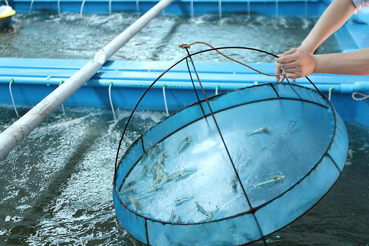
Science and technology play an important role in the development of the agriculture and environment sector, contributing to national food security, greater production efficiency and producer incomes, stronger exports, and Viet Nam’s position as a major agricultural producer in the global market. However, the development and application of science and technology in Viet Nam in general, and in fisheries and fisheries surveillance in particular, still face a number of limitations. It is therefore essential to establish orientations for science and technology development and innovation in fisheries and fisheries surveillance for the 2026–2030 period.
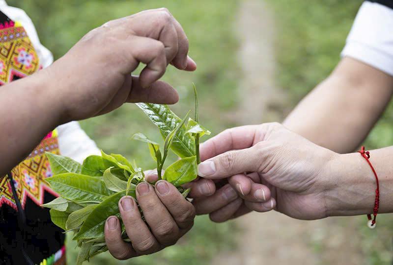
In the highlands of Northern Viet Nam, ancient Shan tea trees not only provide raw materials for distinctive tea products but also preserve valuable genetic resources, indigenous knowledge, and the livelihoods of ethnic minority communities.
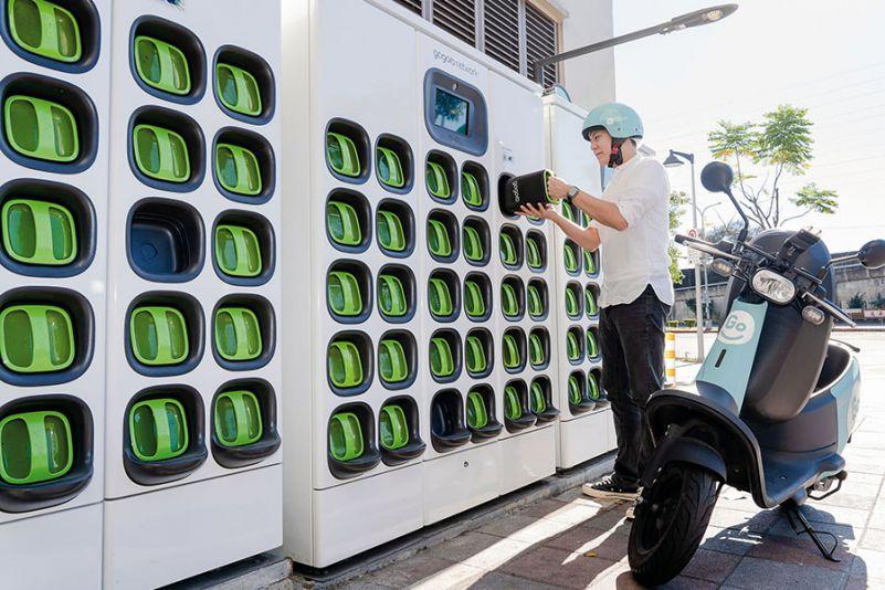
The rapid development of electric mobility is supporting Viet Nam’s energy transition and helping reduce emissions from the transport sector. However, the environmental performance of this transition depends not only on the number of electric vehicles (EVs) in use but also on how vehicles and batteries are managed at the end of their useful lives. Before the volume of end-of-life batteries increases substantially, Vietnam is studying models for the collection, reuse, remanufacturing, and recycling of end-of-life vehicles and EV batteries, with a view to establishing a circular value chain.
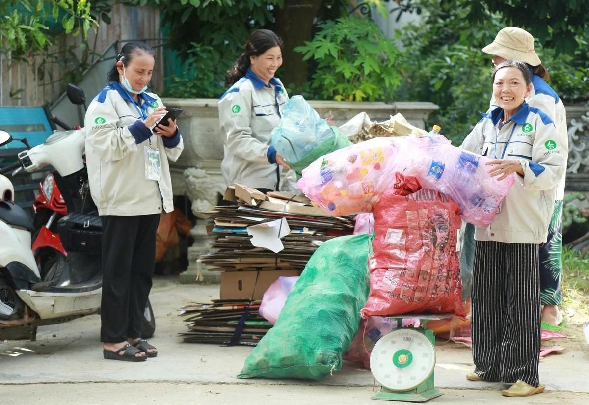
While the international community continues to seek common ground on a global legally binding instrument to end plastic pollution, the question for Viet Nam is not only when the Global Plastics Treaty will be adopted, but, more importantly, how prepared the domestic economy, businesses, and governance systems are for the new requirements it may entail.
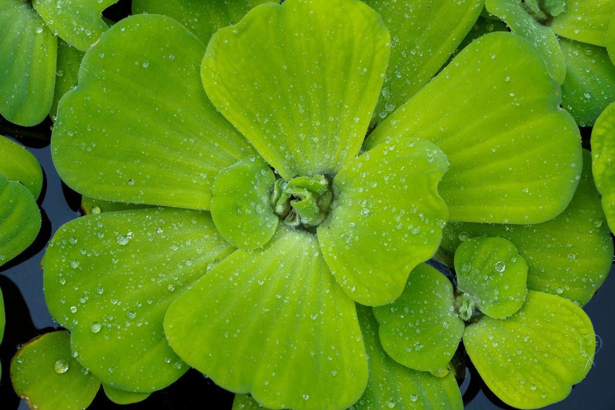
A scientific study by An Giang University, Vietnam National University, Ho Chi Minh City, and the An Giang Center for Rural Clean Water and Environmental Sanitation has demonstrated the potential of water lettuce (Pistia stratiotes) for treating piggery wastewater under natural conditions. The findings show that treatment performance varies with the initial biomass density and the pollutant being targeted. The approach offers a low-cost, environmentally friendly biological treatment option with potential for application by pig farms and household producers in Viet Nam.