


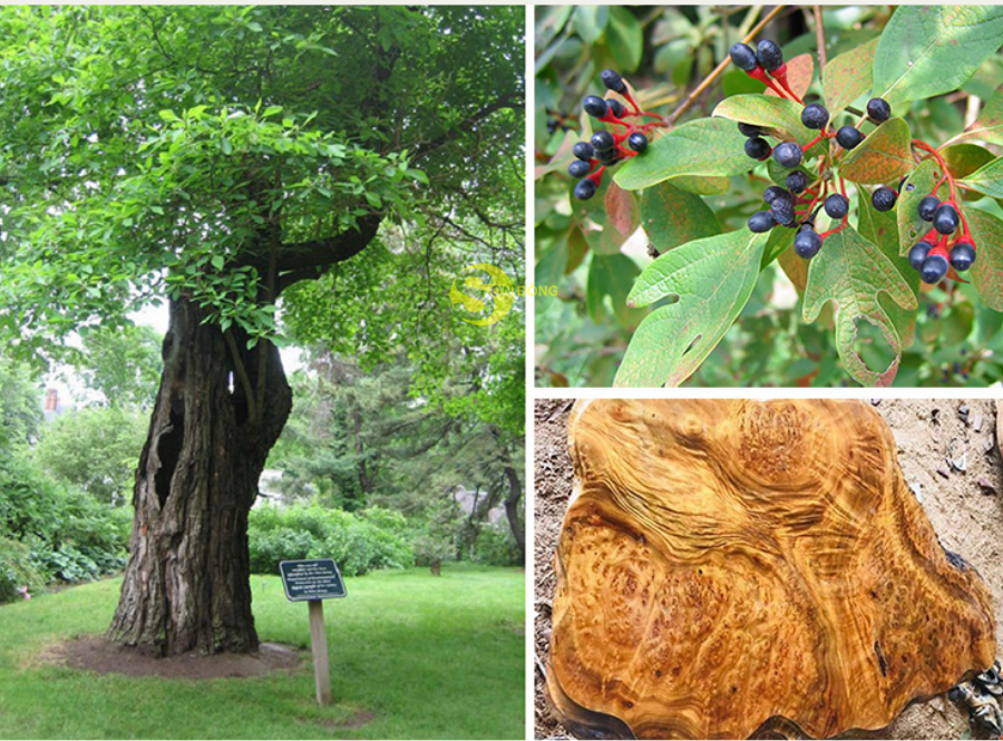
 Cinnamomum parthenoxylon, an endangered tree species of the Lauraceae family, is facing rapid habitat contraction under the combined pressures of climate change and forest degradation in Vietnam’s Central Highlands. A research team consisting of Pham Mai Phuong, Nguyen Thi Thu Nga, Nguyen Quoc Khanh, Nguyen Duy Liem, and Vu Dinh Duy employed the cloud-based Google Earth Engine (GEE) platform and the MaxEnt algorithm to develop habitat suitability maps for both current and projected future climates. This study marks the first application of a multi-scenario climate projection framework to assess the species’ adaptive potential toward the end of the 21st century. The findings provide an important scientific basis for the conservation, restoration, and sustainable planning of C. parthenoxylon in key provinces such as Lam Dong and Dak Nong (now part of the newly established Lam Dong Pprovince).
Climate pressures and the case for digitizing habitat data
Historically widespread across Vietnam’s tropical forests, Cinnamomum parthenoxylon has become increasingly endangered due to unsustainable harvesting, shrinking forest cover, and intensifying climate variability. Field surveys conducted from 2022 to 2025 documented 152 presence points across the Central Highlands. After spatial filtering using a 0.5 × 0.5 km grid to remove duplicate locations, only 50 presence points met the statistical requirements for species distribution modeling—a reflection of the species’ significantly reduced ecological footprint.
Climate change has amplified extremes in temperature, rainfall irregularity, prolonged dry seasons, and the frequency of extreme weather events. For species reliant on stable climatic niches, such disruptions can substantially diminish or fragment suitable habitats. C. parthenoxylon is particularly sensitive due to its preference for cool, humid conditions and stable soil environments.
The limited availability of updated data on habitat ranges, contraction rates, and climate-driven ecological thresholds has complicated conservation efforts. In this context, the research team turned to cloud-based ecological modeling to visualize and forecast potential habitat shifts across different climate scenarios.
The application of the MaxEnt algorithm on Google Earth Engine—a platform integrating large-scale remote-sensing and environmental datasets—enabled high-resolution habitat assessment while overcoming computational constraints associated with traditional desktop workflows. This approach supported the creation of detailed, multi-temporal habitat suitability maps for C. parthenoxylon, forming a robust scientific foundation for conservation and restoration planning.
Big data and cloud computing for habitat suitability modeling
To model climate suitability for C. parthenoxylon, the research team compiled an integrated dataset representing vegetation conditions, terrain parameters, soil characteristics, and bioclimatic variables—each processed directly on the GEE platform.
Standardizing species presence data: Spatial filtering of the 152 field-recorded points produced a final dataset of 50 presence locations, ensuring sufficient spatial independence for modeling.
Environmental variables incorporated into the model
Four main categories of predictors were used:
- Vegetation: MODIS NDVI (MOD13A1, 500 m), cloud filtered
- Terrain: NASA DEM (30 m), including elevation, slope, and aspect
- Soils: SoilGrids (250 m), including soil pH, organic carbon, and texture
- Bioclimatic variables: GEE datasets (1 km), including temperature extremes, seasonal precipitation, and annual rainfall
All datasets were harmonized into a unified projection and clipped to the administrative boundary of the Central Highlands. Future climate projections: To assess long-term climate impacts, six medium-emission GCMs under SSP2-4.5 from WorldClim were used for the period 2080–2100: GISS-E2-1-G, BCC-CSM2-MR, INM-CM5-0, MPI-ESM1-2-HR, MRI-ESM2-0, and UKESM1-0-LL.
Reducing multicollinearity and selecting predictors: Correlation analysis removed variable pairs with r > 0.80, resulting in 15 non-collinear predictors retained for the MaxEnt model.
Model training using MaxEnt on GEE: The MaxEnt classifier (ee.Classifier.amnhMaxEnt) was trained using the 50 presence points and pseudo-absence points automatically generated to balance the dataset. The resulting raster (0–1 suitability scale) was categorized into five habitat suitability classes: very low, low, medium, high, and very high.
Model performance: Across 69 runs with different random seeds, the model achieved a highest AUC score of 0.800, indicating good predictive ability for presence–pseudoabsence modeling. This consistency underscores the robustness of the selected predictors.
Promising ecological spaces for the recovery of Cinnamomum parthenoxylon
Current-climate suitability maps reveal distinct spatial gradients across the Central Highlands. A prominent finding is that Lam Dong and Dak Nong contain the most favorable ecological conditions for the species.
By contrast, the three northern provinces—Kon Tum, Gia Lai, and Dak Lak—show large areas categorized as very low or low suitability:
- Kon Tum: ~593,000 ha very low
- Gia Lai: ~1,200,000 ha very low
- Dak Lak: ~963,000 ha very low
High and very high suitability zones in these provinces are insignificant, reflecting elevated temperatures, uneven rainfall distribution, and less stable soil conditions.
Dak Nong exhibits comparatively favorable ecological characteristics:
- ~274,000 ha medium suitability
- ~150,000 ha high suitability
These areas are located in humid montane zones with richer soils and better forest regeneration—conditions well aligned with the species’ ecological requirements.
Lam Dong stands out as the core habitat stronghold:
- ~400,000 ha high suitability
- ~147,000 ha very high suitability
The province’s cool, moist climate and high-elevation terrain create optimal ecological conditions, positioning Lam Dong as the primary center for species restoration in the region.
From a management perspective, Lam Dong and Dak Nong should be prioritized for conservation and restoration programs, while the remaining provinces may support small-scale trials and microclimate adaptation studies.
Shifting habitat patterns under climate change: Key risks ahead
Projections for 2080–2100 under all six GCMs reveal a consistent trend: a marked decline in high and very high suitability areas, even in the most favorable provinces.
Across scenarios:
- Lam Dong and Dak Nong remain ecological strongholds but face significant reductions in very high suitability zones.
- Kon Tum, Gia Lai, and Dak Lak remain predominantly low suitability with minimal improvement in all climate scenarios.
Some models—GISS-E2-1-G, BCC-CSM2-MR, INM-CM5-0, and UKESM1-0-LL—suggest that very high suitability areas could nearly disappear by the end of the century. Others project less drastic fragmentation but reaffirm the general downward trend.
Two major climatic drivers explain these shifts:
- Rising temperature extremes, particularly during dry and wet seasons, exceed the species’ thermal tolerance.
- Increasing rainfall variability, with more intense wet-season precipitation and reduced dry-season rainfall, heightens soil instability and moisture stress.
Consequently, habitat contraction is accompanied by increasing fragmentation, posing risks for population connectivity, natural regeneration, and genetic diversity.
Nonetheless, certain high-elevation zones may retain relatively stable suitability and thus serve as long-term refugia.
Outlook
The integration of cloud-based computation, multi-source geospatial data, and machine learning has provided a detailed understanding of current and future habitat suitability for Cinnamomum parthenoxylon in the Central Highlands. The identification of key habitat areas—especially in Lam Dong and Dak Nong—offers a solid scientific foundation for targeted conservation and restoration strategies.
However, the projected decline and increased fragmentation of suitable habitats highlight the need for proactive, climate-informed conservation planning, including: prioritizing protection in core suitable areas, establishing ecological corridors to enhance landscape connectivity, applying silvicultural practices to maintain microclimatic stability, and regularly updating models with remote-sensing data to detect early shifts.
Overall, this research demonstrates the value of cloud-based ecological modeling not only for species-specific management but also as a scalable approach for conserving native forest species under accelerating climate change.

As digital transformation becomes a new driver of development, Vietnamese researchers have proposed a planning information system model that applies Geographic Information Systems (GIS) and artificial intelligence (AI) in Vinh Long Province. The research contributes to modernizing planning administration while introducing a new approach to digital government and data-driven governance in Viet Nam.

Using waste ethylene-vinyl acetate (EVA) shoe soles and vulcanized rubber—materials traditionally considered difficult to recycle—a research team from the School of Materials Science and Engineering at Hanoi University of Science and Technology has successfully developed a fully recycled composite material, creating potential new applications in green manufacturing and sustainable industrial production. The study not only contributes to addressing industrial waste challenges but also highlights Vietnam’s growing research and innovation capacity in sustainable materials and the circular economy.
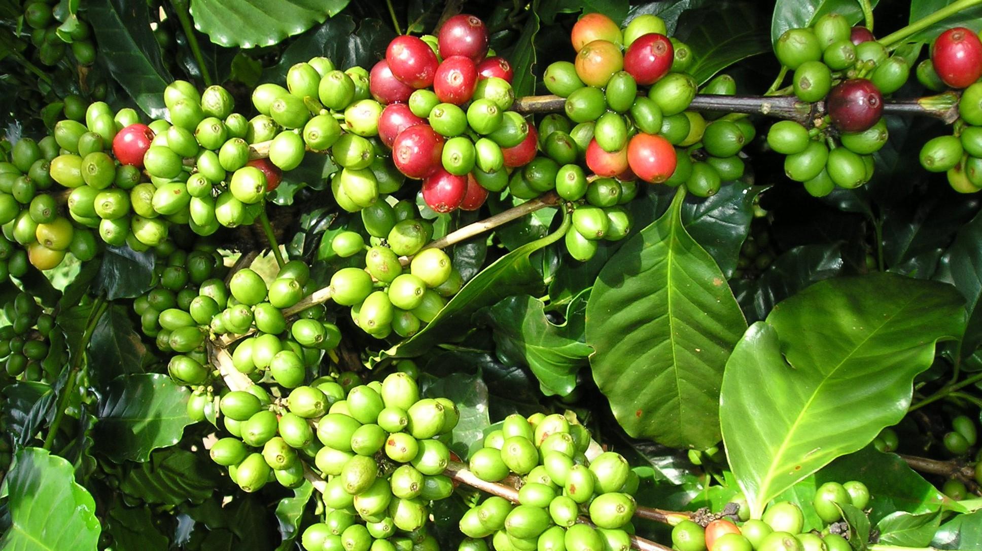
The research project entitled “Development of a suitability map for Arabica coffee cultivation on sloping land in Dien Bien province using remote sensing data, GIS technology, and the analytic hierarchy process (AHP)” conducted by Dinh Xuan Hung, Bui Tuan Hai, and Nguyen Ngoc Sang of the Institute of Water Resources Planning represents a scientifically and practically significant study in the context of ongoing agricultural restructuring toward sustainable production systems that are better adapted to natural conditions and capable of utilizing land resources more efficiently in Viet Nam’s Northern midlands and mountainous region.

Intensive shrimp farming generates substantial economic benefits but also exerts increasing pressure on aquatic environments, particularly through wastewater rich in organic matter and toxic byproducts generated during farming operations. In the context where many shrimp farms still lack appropriate wastewater treatment systems, a research team from Can Tho University and Toan Viet Technological Environment Company Limited conducted an experimental study to assess the potential use of fishing nets—a readily available, low-cost material—as a filter material for biological treatment of wastewater from intensive shrimp ponds.
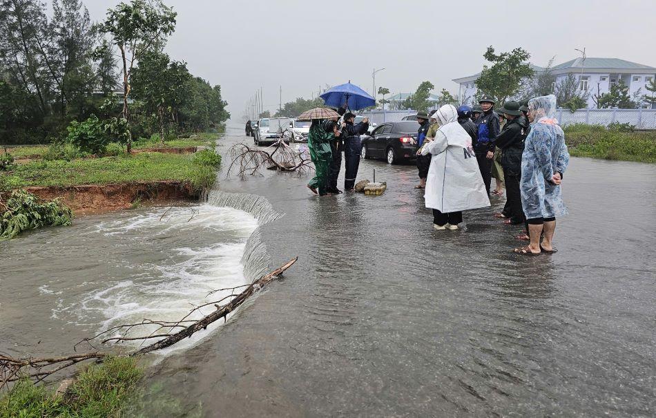
As floods become increasingly complex and extreme in Viet Nam’s North Central region, the demand for an early warning system that is reliable, fast to operate, and suitable for local-level application has become more urgent than ever. A research team from the Vietnam Academy for Water Resources—including Nguyen Thanh Hung, Vu Dinh Cuong, Trieu Quang Quan, and Nguyen Anh Hung—has developed an integrated technological solution that combines flood and inundation forecasting with modern communication tools. The study aims not only to enhance forecasting capacity but also to ensure that warning information reaches the right people at the right time under emergency flood conditions.