




 Two days of technical discussions at Far Eastern Federal University in Russia highlighted the need to translate technologies and response plans into operational capability. The Viet Nam Environmental Incident Response Center (SOS) shared its experience in using a WebGIS digital mapping platform to link resource locations with equipment status and management responsibilities, helping maintain readiness through routine operations.
The second international scientific and practical conference, “Oil spill prevention and response: Solutions and prospects,” concluded its presentations and discussions on October 8, 2026, after two days of sessions. Organized by Far Eastern Federal University in Vladivostok, Russia, the conference was held in a hybrid format, with both in-person and online participation. Practical training was scheduled for October 9 at the Primorye branch of Russia’s Maritime Rescue Service (Morspassluzhba).
The two-day program featured 18 technical presentations, a session on calculating personnel and equipment requirements, and a session on the use of response materials and equipment. The presentations covered three main areas: coordination among agencies and organizations; oil spill response technologies and techniques; and environmental protection considerations in planning for and responding to spills at sea, on inland waterways and on land.
Participants included experts from Far Eastern Federal University; Gubkin Russian State University of Oil and Gas; Tyumen Industrial University; the N.N. Zubov State Oceanographic Institute; the A.N. Frumkin Institute of Physical Chemistry and Electrochemistry of the Russian Academy of Sciences; the Kola Science Centre of the Russian Academy of Sciences; and the Northwestern Institute of Management of the Russian Presidential Academy of National Economy and Public Administration.
Other participants represented Russia’s Maritime Rescue Service (Morspassluzhba), the Russian Association of Marine and Inland Waterway Fuel Suppliers, SOGAZ Insurance Group, and technology and equipment companies and organizations, including Veles-DV, Natural Technologies, Priroda and the Marine Engineering Center (MTC) in St. Petersburg. Vietnam was represented by the Vietnam Environmental Incident Response Center (SOS).
International experience and lessons for Viet Nam
Professor Yana Blinovskaya of Far Eastern Federal University presented a decision-support system that takes into account the environmental sensitivity of areas at risk. Elena Mazlova, head of the Department of Industrial Ecology at Gubkin Russian State University of Oil and Gas, discussed treatment technologies and the oil spill response process. Bringing researchers, rescue personnel and equipment manufacturers together allowed technologies to be considered alongside actual operating conditions and the resources needed for deployment.
Anton Muradyants, head of the search-and-rescue unit at the Azov–Black Sea branch of Morspassluzhba, presented lessons from the oil spill in the Kerch Strait. The incident illustrated the difficulties of dealing with heavy oil that adheres to sand and seabed materials and can continue to cause contamination. For Vietnam, this experience highlights the need to account for coastal areas, seabeds, environmentally sensitive areas and waste generated during cleanup operations. A plan for collecting spilled oil must also identify storage facilities, transportation routes and the capacity to treat or dispose of the resulting waste.
Sergey Zatsepa, a senior researcher and head of the Marine Environment Modeling Laboratory at the N.N. Zubov State Oceanographic Institute under the Federal Service for Hydrometeorology and Environmental Monitoring (Roshydromet), explained how modeling can help forecast oil slick movement and inform the selection of response measures.
Discussions of slick area, thickness and volume highlighted a practical requirement: detecting an oil slick is not enough to determine the personnel and equipment needed. In Vietnam, integrating forecasts with information on aquaculture areas, water resources and sensitive ecosystems could help responders prioritize protection when time and resources are limited.
Other presentations examined acoustic methods for detecting leaks, expert systems for transportation and storage facilities, absorbent materials, soil remediation, the recovery of heavy fuel oil (FO) from sunken vessels, and the integration of satellite data with unmanned aerial vehicles. These approaches offer several avenues for further research. The discussions also highlighted the limitations of response technologies. Performance demonstrated in trials must be validated under real-world conditions, taking into account the scale of an incident, weather conditions and the properties of the oil involved. This is an important consideration when selecting technologies and evaluating equipment for operational use.
Taken together, the presentations pointed to a broader management requirement: readiness assessments must establish whether response operations can actually be carried out. Is the equipment operational? Can response vehicles, equipment and personnel reach the scene in time? The answers determine the practical value of an oil spill response plan.
WebGIS for resource management and response readiness
Representing Viet Nam, Pham Van Son, secretary-general of the Vietnam Association for Conservation of Nature and Environment (VACNE) and director of the Vietnam Environmental Incident Response Center (SOS), delivered an online presentation on a WebGIS platform for managing potential sources of environmental incidents and ensuring response readiness.
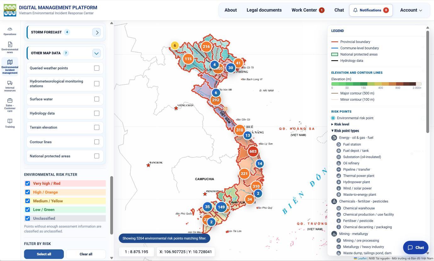
According to the presentation, the system was developed to meet the management needs of SOS’s network of more than 300 response locations. On the digital map, information on potential sources of environmental incidents is linked to response stations, equipment, supplies, vehicles and the personnel responsible for them. When an incident occurs, operators can identify locations where the required resources are available, review access routes and estimate travel times.
A key feature of the system is its approach to maintaining data reliability. Inspection and maintenance schedules are linked to individual pieces of equipment and to the people responsible for managing response stations. Photographic records are retained as evidence of completed work. The system issues reminders before deadlines and alerts managers when tasks become overdue. Equipment transfers are recorded as the corresponding operations are logged. This enables mobilization decisions to be based on up-to-date information about the status of managed resources, reducing the risk of relying on outdated inventories.
SOS’s approach links digital mapping directly to operational procedures. Resource locations are accompanied by information on equipment condition and usability, as well as responsibility for maintenance. This supports pre-incident inspections, resource selection during an emergency and the tracking of equipment transfers. Its practical management value lies in identifying overdue maintenance, locating the appropriate equipment and identifying the person responsible.
Applying digital tools to environmental incident response
Discussion following the presentation focused on how the SOS model was developed, how it operates and whether it could be adapted for use in Russia. A representative of Morspassluzhba asked how long the system had taken to develop and which organizations had participated. Another attendee requested access to guidance materials to explore how the experience of managing maintenance schedules, training and assigned responsibilities could be applied under Russian conditions. The session chair emphasized: “We have learned from your experience and will apply it.”
Elena Mazlova praised the system’s approach to optimizing equipment deployment and suggested adding a data layer showing routes for transporting waste to treatment facilities. Her recommendation extended the scope of resource management to the entire remediation process: response resources must reach the affected area, while waste generated during cleanup must be transported to facilities capable of receiving and treating it appropriately.
On October 8, V.G. Pavlov, a researcher at the Arctic Logistics Laboratory of the Kola Science Centre of the Russian Academy of Sciences, also referred to the map Son had demonstrated at the conference. In a presentation on selecting response technologies for Arctic conditions, Pavlov cited the SOS system when discussing interactive map interfaces and the switching of data layers. The Vietnamese experience thus provided a concrete example in discussions on integrating information to support decision-making.
SOS’s contribution lies in demonstrating how data can be integrated into routine operations, from equipment maintenance to resource mobilization. For regulators and businesses, this approach offers a practical basis for linking assessments of potential environmental hazards with verification of available resources, maintenance schedules, responsibility for data updates and the ability to coordinate deployment.
The two-day conference highlighted the need for digital transformation in environmental protection to support actionable decisions. Linking information on potential sources of environmental incidents, areas requiring protection and available response resources gives incident commanders a stronger basis for action. Ultimately, the measure of readiness is whether the right personnel and equipment can reach the right place at the right time, while waste generated during response operations is properly managed.
Available resources do not automatically translate into response capability
Equipment must be operational, suited to the incident and available for timely deployment. Incident commanders must also have the authority to mobilize resources and organize their use. Digital mapping is most useful when it clearly identifies which resources are ready for deployment, who is responsible for them and how they can be mobilized.
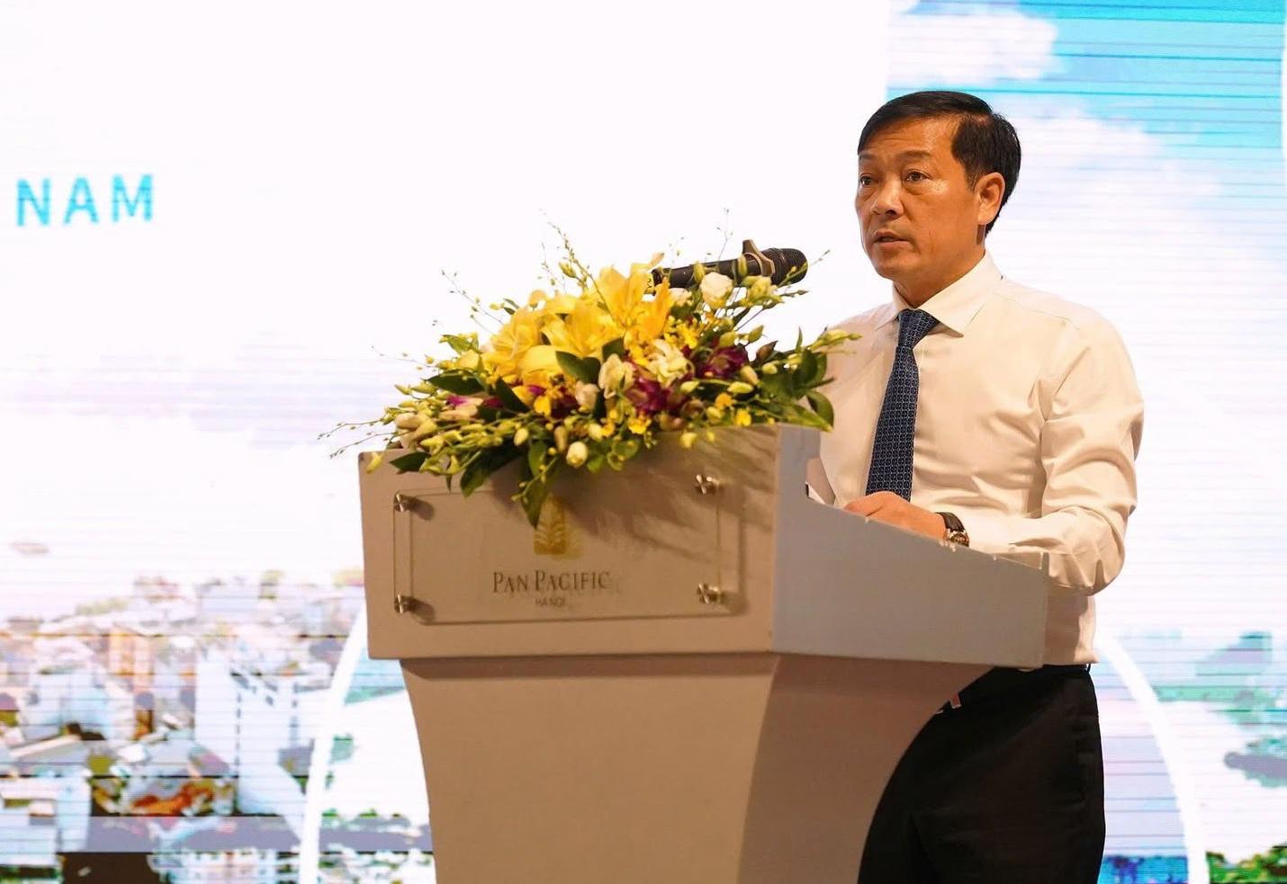
Air pollution in Viet Nam, particularly in major cities, is underscoring the need to move from addressing individual emission sources to target-based air quality management supported by data and inter-sectoral and inter-regional coordination. This was a key focus of the national conference “Combatting air pollution and improving air quality in Viet Nam: Turning policy to action,” held in Ha Noi on September 29.
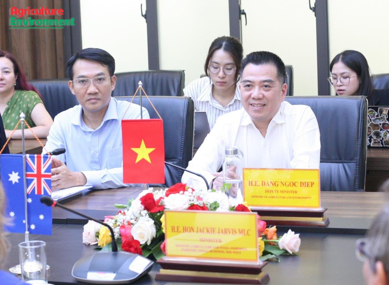
The September 24 meeting between Deputy Minister of Agriculture and Environment Dang Ngoc Diep and Hon Jackie Jarvis MLC, Western Australia’s Minister for Agriculture and Food; Fisheries; Forestry; Small Business; and the Mid West, highlighted scope for expanding Viet Nam-Australia cooperation beyond trade in agricultural, forestry and fishery products to science and technology, climate change adaptation, biosecurity and the marine economy. The two sides also discussed strengthening business links, addressing technical issues and turning areas of potential into concrete cooperation programs.
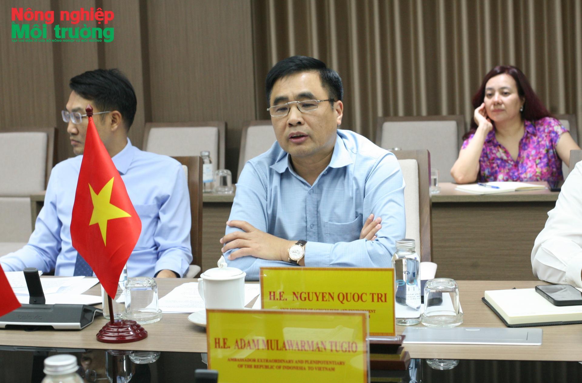
A meeting between Deputy Minister of Agriculture and Environment Nguyen Quoc Tri and Indonesian Ambassador to Viet Nam Adam Mulawarman Tugio on September 22 highlighted the specific market issues shaping agricultural cooperation between the two countries. From Halal products and fisheries to livestock and veterinary vaccines, expanding bilateral trade is closely tied to standards, quarantine requirements, technical dossiers and business connections.
The 2026–2027 dry season is expected to bring increased risks of below-normal rainfall, high temperatures, drought, water shortages, and saltwater intrusion in several major agricultural production areas.
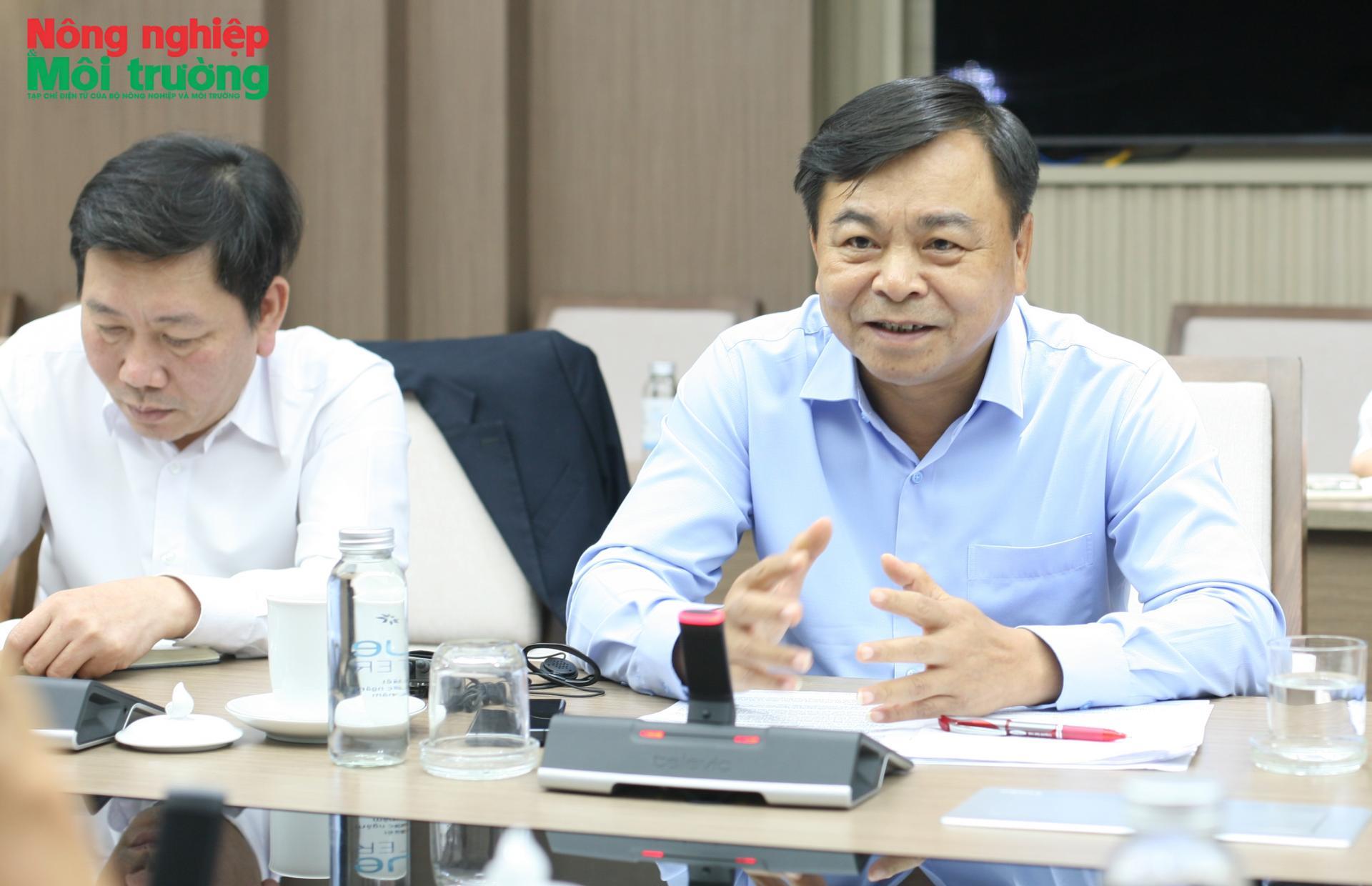
Deputy Minister of Agriculture and Environment Nguyen Hoang Hiep met with a World Bank (WB) delegation on September 9 to discuss the AgriConnect initiative. The meeting focused on ways to better connect public investment, policy and private capital to the development of agricultural value chains.