




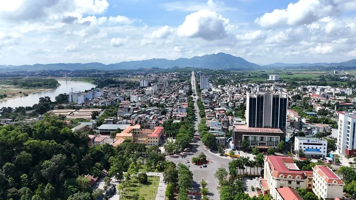
 As land management becomes increasingly digitized, greater attention is being paid to organizing data in an integrated manner and making it accessible through digital mapping platforms. A study by Nguyen Dinh Trung of the Faculty of Natural Resources and Environment, Viet Nam National University of Agriculture, developed a land price database for four wards in Tuyen Quang Province by combining cadastral data, land price information, and field survey results. The database was organized using a GIS-based approach, linking land price information to individual land parcels and facilitating data updating and retrieval.
Spatial characteristics of land prices in the study area
Land prices in the study areas of Tuyen Quang varied considerably across road corridors and locations. According to the study, these differences were associated with urban spatial structure, transport connectivity, infrastructure conditions, and accessibility to commercial, administrative, and service areas. Road corridors with major connectivity functions and favorable infrastructure conditions generally had higher land price levels than other areas.
The study used the K coefficient, calculated by comparing market prices with state-determined land prices, to identify differences among areas. Among the five surveyed road corridors, the former National Highway 2 in Doi Can Ward had the highest average K coefficient, at approximately 8.67, while Quang Trung Street in Minh Xuan Ward recorded a coefficient of 3.50. These figures indicate spatial variation in land prices associated with location and local conditions, while also highlighting the need to organize data at a sufficient level of detail to capture the spatial characteristics of the land market.
The findings on land use rights auction prices also showed that land prices can vary over time and across locations. In a residential area formerly located in Tan Ha Ward, now part of Minh Xuan Ward, the average residential land auction price increased to approximately VND 20.3 million per square meter at an auction in 2022, before declining to about VND 11.5 million per square meter at the end of that year and recovering to approximately VND 12.6 million per square meter in 2023. Within the same area, the size and location of individual lots also resulted in differences in prices per square meter.
These findings provide a basis for considering how land price data should be organized. Rather than storing information solely in separate statistical tables, land price data should be linked to location, individual land parcels, and relevant parcel characteristics to facilitate the monitoring and spatial analysis of price changes.
Data standardization for land price database development
To develop the database, the research team combined multiple sources of information, including cadastral mapping data, the state land price table, land use rights auction data, and field-based information. The study conducted 500 survey questionnaires, comprising 470 responses from local residents and 30 from officials, civil servants, and public employees in the four wards. The survey focused on land parcel information, locational characteristics, and relevant land price data.
The key issue was not simply the volume of data collected, but the standardization process undertaken before the data were incorporated into the system. Cadastral data were reviewed and structurally harmonized, geometric errors were checked, and information such as map sheet number, parcel number, area, land-use type, land use purpose, and address was synchronized. Land price data were likewise classified, coded, and linked to corresponding spatial features, including land parcels, roads, and land price zones.
For market transaction price data, the 500 survey records were entered into the database and linked to individual land parcels using coordinate information, map sheet numbers, and parcel numbers. This approach placed land price information within the same spatial framework as cadastral data, rather than maintaining price information separately from cadastral maps.
Based on the standardized data, the study developed a GIS-based land price database, initially stored in *.gdb format and subsequently integrated into a PostgreSQL/PostGIS database management environment. The system initially included data layers on land parcels, transportation, hydrography, and land prices, enabling spatial data to be linked with attribute information for management and data use.
Spatial integration of land price and parcel data
Once the data had been standardized, the next step was to organize the information within an integrated system in which land price data were linked to the spatial data of individual land parcels. This approach allows price information to be considered together with parcel location, area, land-use type, land use purpose, and other relevant characteristics, rather than being treated as standalone data.
The study developed a land price database for four selected wards in Tuyen Quang Province. Cadastral mapping data were standardized, classified into layers, and checked for geometric errors, while parcel attribute information was reviewed and synchronized before being linked with land price data. The resulting land parcel layer integrated spatial and attribute information, providing a basis for updating data on land prices and land use rights auction prices.
A notable feature of the study was the linkage of transaction price data collected through the 500 survey questionnaires to individual land parcels using coordinate information, map sheet numbers, and parcel numbers. This enabled survey data to be directly associated with specific locations on the map, facilitating data retrieval and analysis.
On this basis, the study developed a *.gdb-format land price database and subsequently integrated it into the PostgreSQL/PostGIS database management system. Information layers on land parcels, transportation, hydrography, land prices, and related data were stored within the same system. According to the author, this organization initially ensured linkages between spatial and attribute data, supporting the management and use of land price information.
The spatial linkage of data also demonstrates that the land price database serves a purpose beyond data storage. When each price record is associated with the location and characteristics of a land parcel, the data can provide a broader information base for monitoring, analysis, and updating in land management.
Further development of the database for land management and data use
The findings also indicate that establishing a database represents only one stage of the overall process. For the system to be used effectively in practice, the data need to be continuously updated, standardized, and integrated across different information sources.
According to the study, input data are currently collected from multiple sources, including cadastral maps, the state land price table, land use rights auction data, and market survey information. Differences in data structures require the information to be reviewed and processed before integration. At the same time, market land price data remain substantially dependent on field surveys, with no automated mechanism yet in place for updating information from transaction data sources.
The author also highlights the need to improve data integration and sharing. Linking the land price database with relevant systems, including taxation, finance, planning, land registration, land use rights auctions, and real estate transactions, could provide a broader information base for different management and analytical purposes. This is also identified as an important direction for further development of the database.
In addition, the study proposes developing a WebGIS system to support online data retrieval, with the gradual integration of digital maps, price change information, and data comparison functions. This could broaden access to the database, extending its use beyond government agencies to other data users who require access to land price information.
Other proposed measures include applying data-driven analytical and mass appraisal models; strengthening the capacity of personnel in GIS, data management, and data analysis; and ensuring requirements for data security, access control, and information sharing.
The study indicates that the value of a land price database lies not only in compiling additional land price information, but also in its ability to organize, link, and update data spatially. This provides a basis for improving the use of land information while supporting the continued development of data systems for land management at the local level.
Source: This article is based on the study by Nguyen Dinh Trung, titled “Building a land price database to support digital transformation in some wards in Tuyen Quang province,” published in the Science Journal of Agriculture and Environment, Issue 1, June 2026.

In the context of climate change, increasing water scarcity, and the urgent need to reduce greenhouse gas (GHG) emissions, improving water use efficiency in rice cultivation has become both a scientific priority and a central policy task. From field-level irrigation studies to standardized scientific water management procedures, Vietnam is gradually shaping a resource-efficient, low-emission agriculture, laying the groundwork for green transformation and sustainable development.
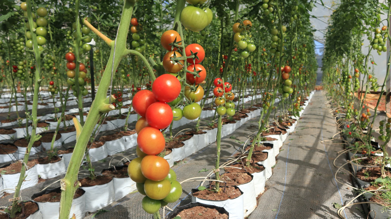
Leveraging the cool microclimate of Van Son, an upland commune, a research team from the Vietnam National University of Agriculture—Nguyen Thi Ngoc Dinh, Nguyen Trong Tuynh, Nguyen Hong Hanh, and Ly Van Duong—successfully piloted an off-season organic production model for tomatoes and radishes based on a value chain approach, both certified under the Vietnamese organic standards. The results show productivity and economic returns exceeding expectations, opening opportunities for more stable incomes for farmers. At the same time, the model helps lay the foundation for a sustainable production–consumption chain, strengthening local capacity to adapt to climate change and evolving market demands.
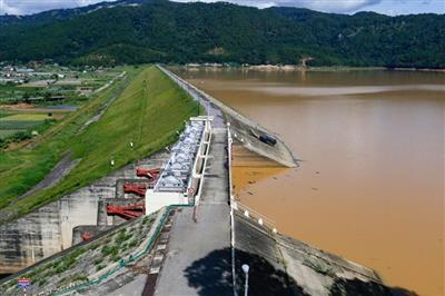
Amid increasing climate change impacts and rapid urbanization, the study “Assessing the variations of surface water resources in Da Lat under climate change context”, conducted by Pham The Anh, Truong Thanh Canh, Bui Xuan An, and Le Thi Thanh Quynh, analyzes long-term meteorological and hydrological data (1993-2024) to clarify the trends in streamflow, rainfall, and temperature across four main river basins of Da Lat. The findings provide scientific evidence to support the management and planning of surface water resources toward adaptation and sustainable development.
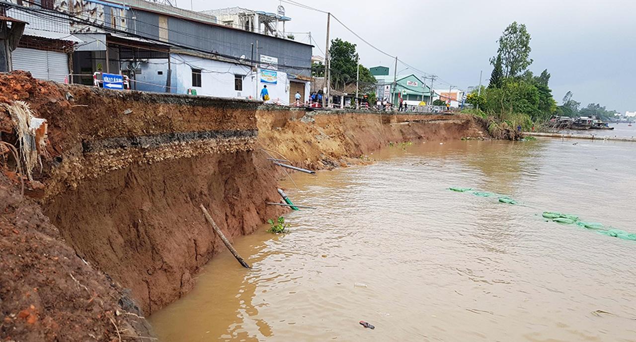
Amid increasingly complex riverbank, canal, and stream erosion in An Giang province, a research team led by Nguyen Thi Ly and Doan Thi Lien from the Hanoi University of Natural Resources and Environment conducted an assessment of riparian vegetation in acid sulfate soil areas to identify plant species capable of stabilizing riverbanks and adapting to local hydrological conditions. Through field surveys, community structure analysis, and species-selection criteria using the Analytical Hierarchy Process (AHP), the study proposes four promising groups of plant species for integration into ecological erosion-control models.
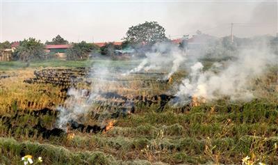
In Hanoi’s development context, agriculture remains a foundational sector, ensuring food security and providing livelihoods for millions of suburban workers. However, alongside rapid urbanization, agricultural production has created many challenges in environmental protection in rural areas of Hanoi. Researchers Dinh Thi Hai Van and Nguyen Thanh Lam (Faculty of Natural Resources and Environment, Vietnam Academy of Agriculture) conducted a study to analyze the current situation of environmental pollution caused by agricultural production and propose solutions to reduce it.