


 As Resolution No. 57-NQ/TW calls for more effective use of data and stronger innovation, the remote sensing sector is under growing pressure to achieve breakthroughs in technology, implementation capacity and practical application. A working session held on January 29, chaired by Deputy Minister Nguyen Thi Phuong Hoa with the Department of National Remote Sensing, clarified key directions for developing the department’s science, technology and innovation plan for 2026–2030, with a focus on addressing practical challenges in agriculture and the environment.
Remote sensing data seen as foundation for state management
At the meeting, the Department of National Remote Sensing said remote sensing data—characterized by wide spatial coverage, high resolution, short revisit cycles, specialized multispectral capabilities and extensive historical archives—has increasingly demonstrated its foundational role in monitoring natural resources, the environment, agriculture and disaster prevention and response.
The national remote sensing database, managed by the department, currently stores tens of thousands of satellite images covering the entire territory of Viet Nam. The data are collected from satellite systems such as VNREDSat-1, SPOT-6 and KOMPSAT-3A. This large and valuable dataset enables status monitoring, change detection and trend forecasting across a wide range of fields, including land use, forests, water resources, marine environments and agricultural production.
According to the department, effective use of this data, combined with sector-specific datasets and modern digital technologies such as artificial intelligence, big data and cloud computing, will provide a critical foundation for data-driven state management and support sustainable development.
Science and technology priorities for addressing key challenges in 2026–2030
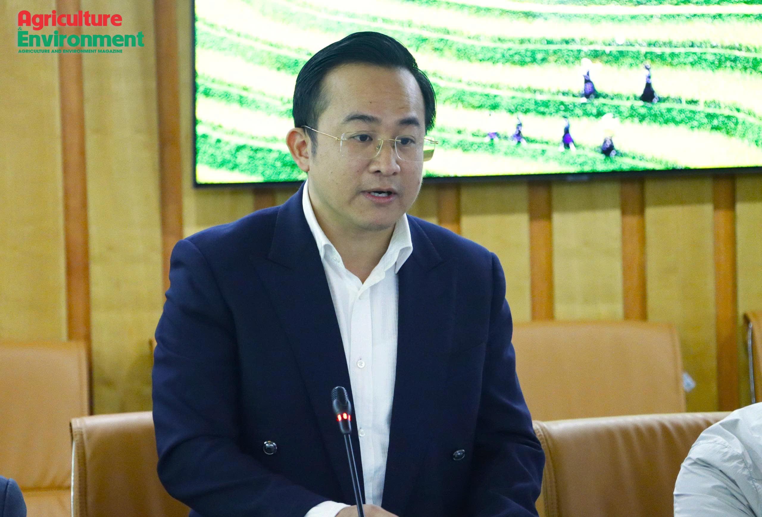
Reporting at the meeting, Pham Minh Hai, Deputy Director of the Department of National Remote Sensing, said the 2026–2030 plan sets an overarching goal of advancing science, technology, innovation and digital transformation in the remote sensing sector. The aim is to achieve breakthroughs in the application of remote sensing, artificial intelligence and digital data to deliver information, data products and automated early warnings in support of state management, sustainable agricultural development and environmental protection.
Under the plan, the department will work to complete a coherent legal framework for remote sensing activities; upgrade data acquisition systems and the national remote sensing database toward a big data model; develop automated monitoring, supervision and early warning platforms; and advance artificial intelligence-based algorithms and intelligent monitoring toolkits.
By 2030, the department aims for at least 70% of remote sensing data preprocessing and processing workflows to be digitally enabled; more than 90% of science and technology tasks to produce outputs applied in practice; and about 60% of research results to be recognized as technical advances, including some registered for intellectual property protection.
The plan also outlines seven key task groups and solutions, focusing on science and technology initiatives linked to real-world demands in agriculture and environmental management. Priority will be given to developing intelligent automated monitoring, supervision and early warning systems through the integration of remote sensing data, sectoral data and artificial intelligence.
Tasks to be reviewed under integrated, cross-sectoral approach
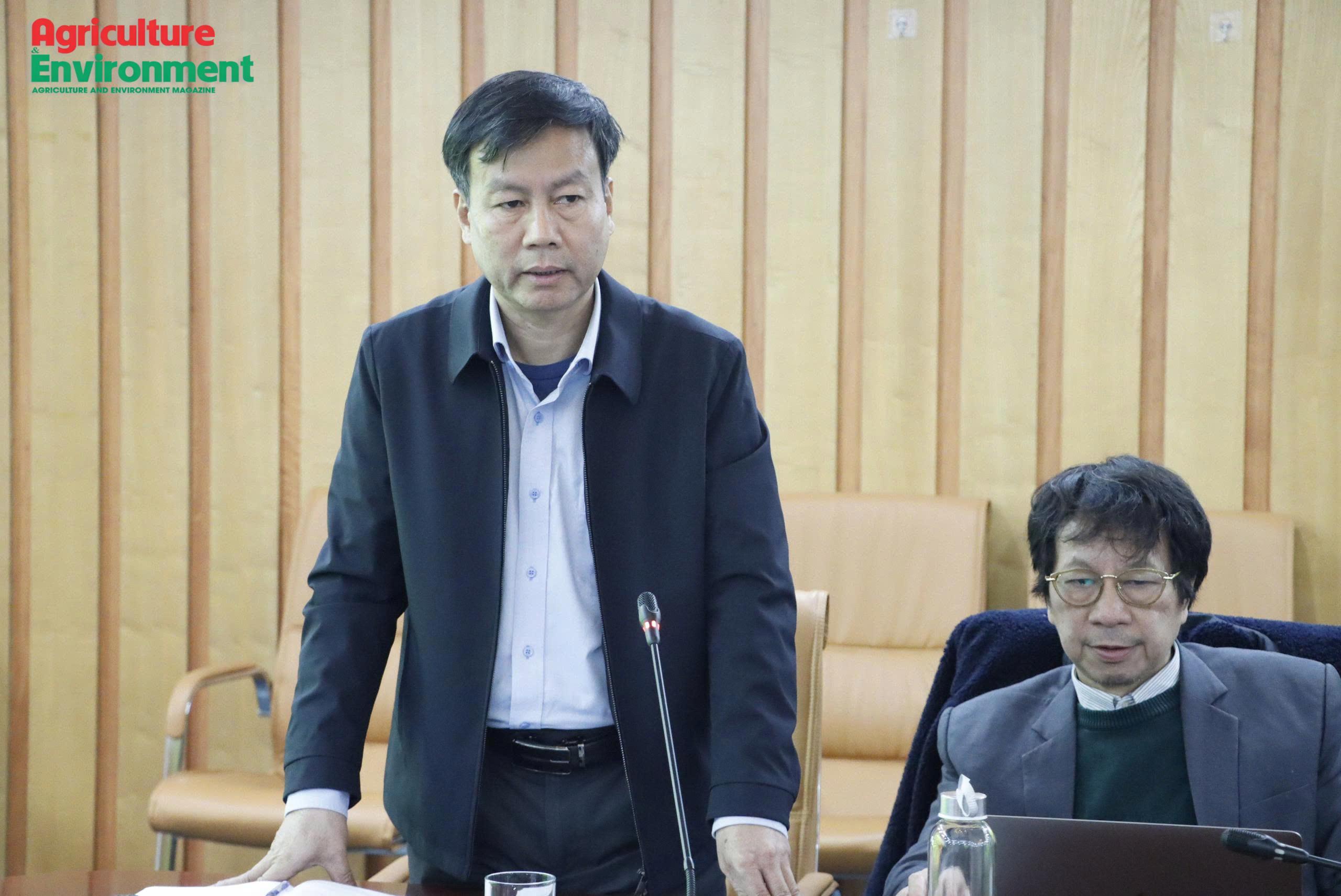
Speaking at the meeting, Mr. Tran Tuan Ngoc, Director of the National Remote Sensing Department, stressed that in disaster prevention and response—particularly during storms and floods—speed and the ability to deliver timely data are critical. In the coming period, science and technology tasks will be implemented through a project-based approach rather than standalone research topics, with the aim of producing outputs that can be directly applied in management and operational decision-making.
Concluding the meeting, Deputy Minister Nguyen Thi Phuong Hoa emphasized Resolution No. 57-NQ/TW presents a favorable opportunity for the remote sensing sector to upgrade its technological capacity and achieve major breakthroughs in the 2026–2030 period. She instructed the National Remote Sensing Department to review and reorganize science, technology and innovation tasks under an integrated, cross-sectoral approach, rather than limiting their scope to agriculture and the environment, in order to avoid duplication and improve investment efficiency.
The Deputy Minister also emphasized the need to strengthen quantitative analysis, assess investment effectiveness and enhance the practical value of remote sensing data. She called for clear prioritization of tasks based on real-world needs and technological readiness. In addition, she urged the department to continue researching, drafting and submitting a Law on Remote Sensing to establish a comprehensive and coherent legal framework for state management of remote sensing activities in the new context.
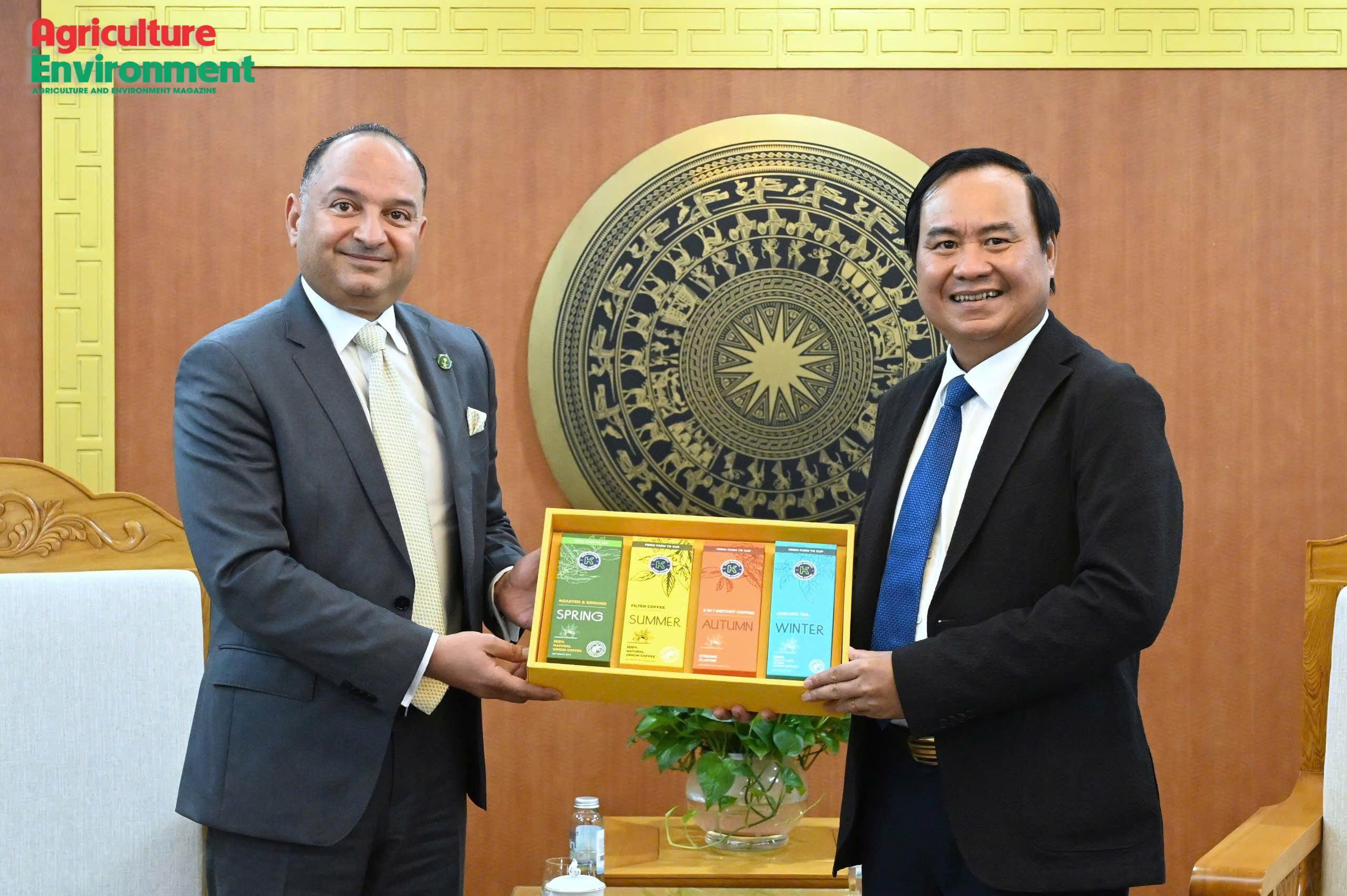
Deputy Minister of Agriculture and Environment Vo Van Hung and Saudi Ambassador to Viet Nam Thamer Mohamed Algosaibi discussed measures to strengthen cooperation in agriculture, agricultural trade, investment, Halal development, and food supply chains during a meeting on June 8. Both sides said significant opportunities remain for deeper collaboration as demand for food security and diversified supply sources continues to grow.
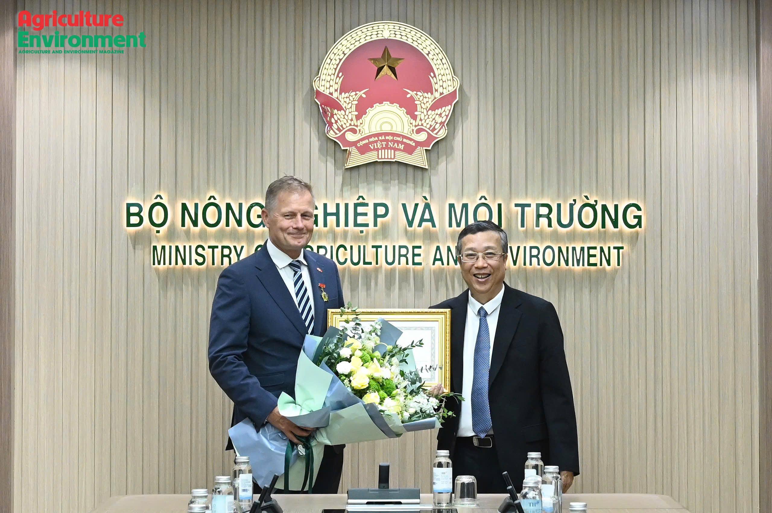
Receiving the Medal for the Cause of Agriculture and Environment, Danish Ambassador to Viet Nam Nicolai Prytz said the honor was not only a recognition of his personal contributions but also reflected the achievements of cooperation between Viet Nam and Denmark in agriculture, food systems, and sustainable development. During his tenure, he helped advance a number of important bilateral initiatives, particularly the Viet Nam–Denmark Green Strategic Partnership.
Digital platforms are creating new market access channels for Vietnamese agricultural products, improving transparency, strengthening consumer confidence, and supporting the agricultural sector’s shift from a production-focused approach to one centered on value creation.
Viet Nam is gradually advancing blue carbon initiatives to strengthen the conservation of coastal and marine ecosystems, address climate change, and support its commitment to achieving net-zero emissions by 2050. In this context, the Vietnam National Blue Carbon Action Partnership (NBCAP) Implementation Plan and the Operating Regulations of the NBCAP Vietnam Working Group have been developed to provide a foundation for intersectoral coordination, resource mobilization, and stakeholder engagement.
On May 28, at the headquarters of the Ministry of Agriculture and Environment, Deputy Minister Vo Van Hung met with Jonathan Choi, Chairman of Sunwah Group, and representatives of Chinese partner companies to discuss cooperation in high-tech farming, agricultural trade, and green development.