
Promoting science and technology applications in flood risk management in Vietnam
13/05/2025TN&MTAs part of the 2025 national disaster prevention and control week, a workshop themed “Science and technology applications in flood risk management in Vietnam” was held in Phu Ly city, Ha Nam province. The event served as a vital platform for government agencies, experts, research institutes, and international organizations to exchange experiences and introduce cutting-edge technological models to effectively address the growing complexity of flooding caused by climate change.
.JPG)
Mr. Nguyen Truong Son, Deputy Director General of the Vietnam Disaster and Dyke Management Authority (VDDMA)
Climate change and emerging challenges in flood prevention and control
Co-organized by the Vietnam Disaster and Dyke Management Authority (VDDMA) under the Ministry of Agriculture and Environment, the Institute for Social and Environmental Transition (ISET), and Plan International Vietnam, the workshop gathered over 70 delegates. Participants included representatives from central agencies, disaster-prone localities such as Son La, Lang Son, Quang Binh, Quang Tri, Thua Thien Hue, and Binh Dinh, as well as experts from universities and international development organizations.
In his opening remarks, Mr. Nguyen Truong Son, Deputy Director General of VDDMA, emphasized that floods in Vietnam have become increasingly erratic and severe, causing substantial human and economic losses. In 2024 alone, disasters resulted in hundreds of fatalities and missing persons, with economic damages estimated in the tens of trillions of dong.
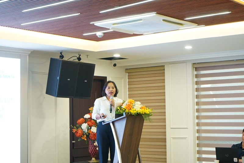
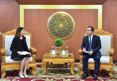
Ms. Dang Thi Huong, Deputy Head of the Disaster Response and Recovery Division
Flooding in Vietnam has taken various forms: flash floods and landslides in the northern and central mountainous regions, urban inundation in midland and delta areas, and prolonged flooding in the Mekong Delta due to tidal surges and sea level rise.
According to Ms. Dang Thi Huong, Deputy Head of the Disaster Response and Recovery Division, the root causes go beyond climate change. Unplanned infrastructure development, deforestation in upstream watersheds, encroachment on rivers and streams, and uncontrolled resource exploitation have all contributed to heightened flood risks. In this context, she affirmed, applying science and technology in risk management is essential to enhancing resilience and disaster preparedness.
Technology enhances early warning systems and rapid response in flood management
During the workshop, delegates shared a range of effective technological models being deployed at the local level. Provinces such as Hue, Da Nang, and Quang Nam have adopted tools including Geographic Information Systems (GIS), flood simulation software, and risk maps to develop response scenarios and reduce damage.
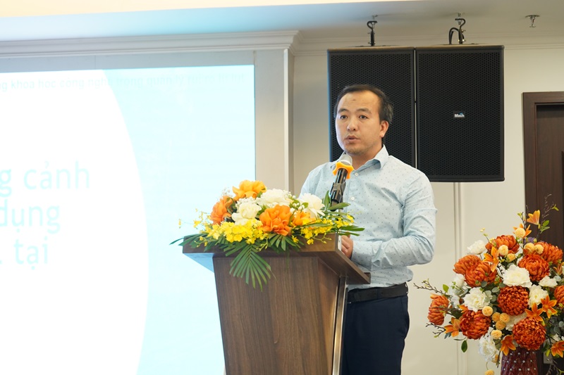
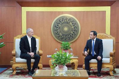
Mr. Vu Canh Toan, Technical Lead at ISET Vietnam
Hue city was highlighted as a leading example in real-time flood warning using artificial intelligence (AI) integrated with surveillance cameras. According to Mr. Vu Canh Toan, Technical Lead at ISET Vietnam, image data from cameras are analyzed by AI to determine flood depth and automatically issue alerts via multiple communication platforms. A real-time flood map is continuously updated and integrated into the Hue-S mobile application, allowing residents quick access to information and enabling authorities to make timely, informed decisions.
Mr. Vu Canh Toan also stressed the importance of improving foundational data, such as historical flood markings and the interconnection of automatic monitoring stations, to increase the accuracy of early warning systems. “Off-season floods, although smaller, often inflict greater damage in agriculture. Technology must support communities in responding quickly and safely to unexpected events,” he noted.
Scaling up technological models to support vulnerable communities
The workshop also introduced Phase 2 of the “Zurich Community Resilience to Climate Change” (ZCRA) project, funded by the Z Zurich Foundation (Switzerland). Running from 2024 to 2027, the project covers 18 communes and wards across Quang Binh, Quang Tri, Binh Dinh, Thua Thien Hue, and Can Tho City. It focuses on strengthening flood preparedness and response capacity for local authorities and vulnerable communities, particularly women, girls, and ethnic minorities.
.png)
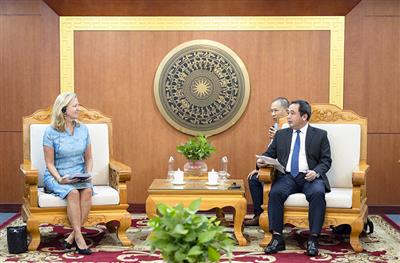
Ms. To Thi Minh Trang, representative of Plan International Vietnam
Ms. To Thi Minh Trang, representative of Plan International Vietnam, reaffirmed the organization’s commitment to helping localities access advanced technologies, promote community-based communication, and provide disaster preparedness training — all toward a greener and more sustainable future.
Through this workshop, the organizers aim to accelerate the application of science and technology in disaster prevention and control, especially in flood risk management. Practical experiences, lessons learned, and successful models shared by localities will provide a critical foundation for building safer, more adaptive communities in the face of climate change — one of the most pressing challenges Vietnam faces today.
Ngoc Huyen
Post Related
Promoting trade and investment between Vietnam and the state of Iowa

Coffee by-products: Unlocking new value from an overlooked resource

Science, technology, and innovation: The foundation for doubling productivity and increasing product value

Vietnam and Malaysia strengthen cooperation in agriculture, fisheries, and food security
Viet Nam promotes the role of communities in economic development linked with environmental protection
Partnering for a green future: The World Bank’s support for sustainable agriculture in Viet Nam

Vietnam’s agrifood momentum: Progress, partnerships, and a sustainable path forward
Decoding flash floods with GeoAI in Vietnam’s Northern Highlands - Part 2: Modelling extremes and what the maps reveal